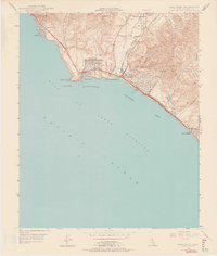
1948 Map of Dana Point
USGS Topo · Published 1959About this map
Dana Point and the adjacent Orange County coastline are captured here in the late 1940s, showing a string of seaside communities connected by the Coast Highway and the Atchison Topeka and Santa Fe railroad. The landscape transitions from the residential enclaves of South Laguna and Three Arch Bay in the northwest to the developing tracts of Capistrano Beach and San Clemente in the southeast. Significant infrastructure of the era is visible, including the Capistrano Airport and an Airway Beacon near the bluffs. The natural topography is defined by the steep canyons of Boca de la Playa and the drainage of San Juan Creek, which meets the sea near Doheny Beach State Park. This survey illustrates the early post-war character of the South Coast before the massive expansion of the modern harbor.
Find a feature on this map
32 named features on this map. Tap any name to fly to it.
Don’t see what you’re looking for? This feature index may not catch every label — zoom into the map to look around manually.
Map Details
Editions of this 1948 Dana Point Map
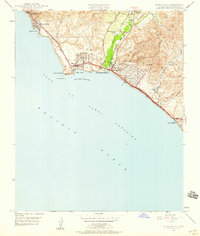
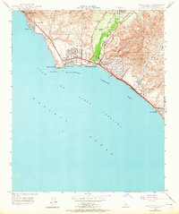
3 editions found
Other maps of this area

1896 · Santa Ana
USGS Topo · 1:62,500

1901 · Southern California Sheet No. 1
USGS Topo · 1:250,000

1901 · Santa Ana
USGS Topo · 1:62,500

1902 · Capistrano
USGS Topo · 1:125,000

1902 · Corona
USGS Topo · 1:125,000

1904 · Southern California Sheet No. 2
USGS Topo · 1:250,000

1904 · Southern California Sheet No. 1
USGS Topo · 1:250,000

1906 · Capistrano
USGS Topo · 1:125,000

1942 · San Juan Capistrano
USGS Topo · 1:62,500
1942 · Santa Ana
USGS Topo · 1:62,500