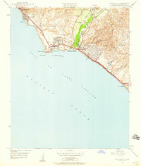
1948 Map of Dana Point
USGS Topo · Published 1959About this map
San Juan Creek cuts through the coastal hills of southern Orange County, meeting the Pacific at the edge of Doheny Beach State Park. This mid-century landscape is defined by the burgeoning seaside communities of Dana Point and Capistrano Beach, where the Atchison Topeka and Santa Fe railroad tracks hug the shoreline below Boca de la Playa. The map captures a moment when transit infrastructure was rapidly evolving, featuring the 4 Lane Coast Highway and the Capistrano Airport with its associated Airway Beacon.
Find a feature on this map
32 named features on this map. Tap any name to fly to it.
Don’t see what you’re looking for? This feature index may not catch every label — zoom into the map to look around manually.
Map Details
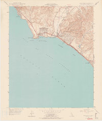
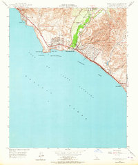
Editions of this 1948 Dana Point Map
3 editions found
Other maps of this area

1896 · Santa Ana
USGS Topo · 1:62,500

1901 · Southern California Sheet No. 1
USGS Topo · 1:250,000
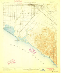
1901 · Santa Ana
USGS Topo · 1:62,500
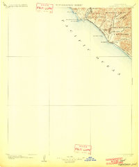
1902 · Capistrano
USGS Topo · 1:125,000

1902 · Corona
USGS Topo · 1:125,000

1904 · Southern California Sheet No. 2
USGS Topo · 1:250,000

1904 · Southern California Sheet No. 1
USGS Topo · 1:250,000
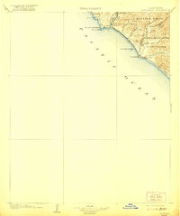
1906 · Capistrano
USGS Topo · 1:125,000
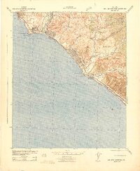
1942 · San Juan Capistrano
USGS Topo · 1:62,500
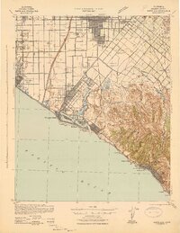
1942 · Santa Ana
USGS Topo · 1:62,500