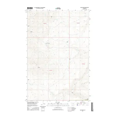
2017 Map of Dana Ranch
USGS Topo · Published 2017About this map
Adel and the eponymous Dana Ranch anchor this 2017 survey of the Montana landscape, where the drainages of Hound Creek and its western forks carve through a complex system of ridges and coulees. The terrain is defined by dramatic geological landmarks such as The Pinnacles and Castle Rock, which rise above the surrounding flats and hollows. The hydrography is particularly intricate, with Too-nah-hin Creek and Mullery Creek feeding into a network that includes Allen Creek and Fourteen Creek.
Find a feature on this map
27 named features on this map. Tap any name to fly to it.
Don’t see what you’re looking for? This feature index may not catch every label — zoom into the map to look around manually.
Map Details
Editions of this 2017 Dana Ranch Map
This is the sole edition of this map. No revisions or reprints were ever made.
Other maps of this area

1886 · Great Falls
USGS Topo · 1:250,000

1886 · Fort Logan
USGS Topo · 1:250,000

1948 · White Sulphur Springs
USGS Topo · 1:250,000

1954 · Great Falls
USGS Topo · 1:250,000

1957 · Great Falls
USGS Topo · 1:250,000

1958 · White Sulphur Springs
USGS Topo · 1:250,000

1961 · White Sulphur Springs
USGS Topo · 1:250,000

1961 · Hound Creek Reservoir
USGS Topo · 1:24,000

1961 · Rocky Reef
USGS Topo · 1:24,000

1961 · Schrammeck Lake
USGS Topo · 1:24,000