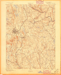
1892 Map of Danbury
USGS Topo · Published 1897About this map
Danbury serves as the focal point of this late-nineteenth-century survey, shown as a dense network of streets and rail lines including the Housatonic Railroad and the N. Y. & N. E. R. R.. The landscape is defined by its glacial topography, with numerous drumlins and ridges rising between the Still River and Saugatuck River valleys. Industrial and civic life is centered around landmarks such as the Fair Grounds and Town Hall, while the surrounding countryside is dotted with smaller hubs like Bethel, Newtown, and Brookfield Center. The prominence of rail infrastructure, including the Danbury and Norwalk Division, highlights the region's importance as a transportation corridor connecting interior Fairfield County to the coast and neighboring states. Local history is etched into the terrain at sites like the Putnam Monument and family-named elevations like Thomas Mt and Moses Mt.
Find a feature on this map
98 named features on this map. Tap any name to fly to it.
Don’t see what you’re looking for? This feature index may not catch every label — zoom into the map to look around manually.
Map Details
Editions of this 1892 Danbury Map
11 editions found

1892 edition
16.4 x 19.8 inches
1897 edition
16.4 x 20.3 inches
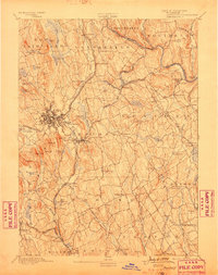
1899 edition
16.1 x 20.3 inches
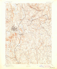
1904 edition
16.4 x 19.9 inches
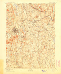
1908 edition
16.4 x 19.9 inches
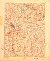
1912 edition
16.4 x 19.9 inches
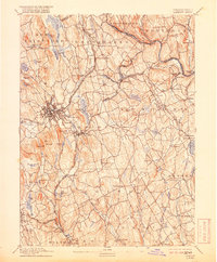
1918 edition
16.4 x 19.8 inches
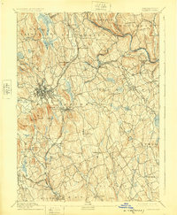
1925 edition
16.4 x 19.9 inches
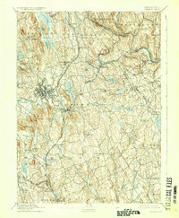
1929 edition
16.4 x 19.9 inches
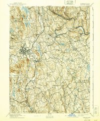
1940 edition
16.4 x 19.7 inches
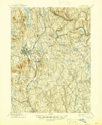
1945 edition
16.9 x 20.7 inches
Other maps of this area

1889 · Derby
USGS Topo · 1:62,500

1891 · Bridgeport
USGS Topo · 1:62,500

1891 · Derby
USGS Topo · 1:62,500

1892 · Stamford
USGS Topo · 1:62,500
1892 · Danbury
USGS Topo · 1:62,500

1892 · New Milford
USGS Topo · 1:62,500

1892 · Norwalk
USGS Topo · 1:62,500

1892 · Carmel
USGS Topo · 1:62,500

1893 · Carmel
USGS Topo · 1:62,500

1893 · Bridgeport
USGS Topo · 1:62,500