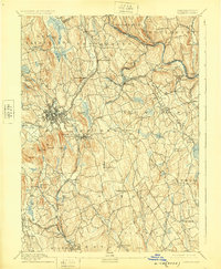
1892 Map of Danbury
USGS Topo · Published 1925About this map
Danbury and its surrounding hill country were defined by a complex network of 19th-century rail lines that funneled through the Naugatuck Valley region. The Housatonic Railroad and its various branches, including the Danbury and Norwalk Division, served as the economic arteries for industrial centers like Bethel and Newtown. This 1889 survey, later reprinted in 1925, reveals a landscape of ridge-top settlements and valley mills, where the Still River and Saugatuck River provided water power long before the creation of modern reservoirs. Near the heart of the city, the Fair Grounds and Town Hill stand as prominent landmarks of civic life. Farther south in Redding, the Putnam Monument marks a site of historical commemoration, while the name Valley Forge suggests the area's early industrial heritage along the riverbanks. The map also documents the critical water infrastructure of the era, from the Padanaram Reservoir to Lake Kohanza.
Find a feature on this map
87 named features on this map. Tap any name to fly to it.
Don’t see what you’re looking for? This feature index may not catch every label — zoom into the map to look around manually.
Map Details
Editions of this 1892 Danbury Map
11 editions found

1892 edition
16.4 x 19.8 inches
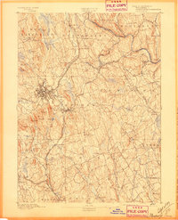
1897 edition
16.4 x 20.3 inches
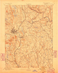
1899 edition
16.1 x 20.3 inches
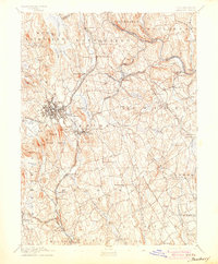
1904 edition
16.4 x 19.9 inches
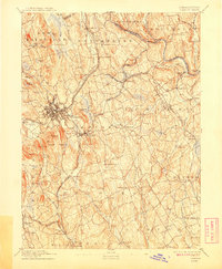
1908 edition
16.4 x 19.9 inches
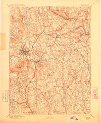
1912 edition
16.4 x 19.9 inches
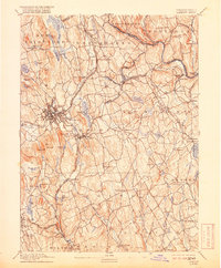
1918 edition
16.4 x 19.8 inches
1925 edition
16.4 x 19.9 inches
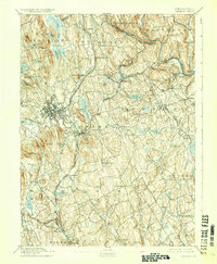
1929 edition
16.4 x 19.9 inches
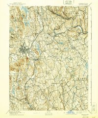
1940 edition
16.4 x 19.7 inches
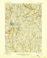
1945 edition
16.9 x 20.7 inches
Other maps of this area

1889 · Derby
USGS Topo · 1:62,500

1891 · Bridgeport
USGS Topo · 1:62,500

1891 · Derby
USGS Topo · 1:62,500

1892 · Stamford
USGS Topo · 1:62,500
1892 · Danbury
USGS Topo · 1:62,500

1892 · New Milford
USGS Topo · 1:62,500

1892 · Norwalk
USGS Topo · 1:62,500

1892 · Carmel
USGS Topo · 1:62,500

1893 · Carmel
USGS Topo · 1:62,500

1893 · Bridgeport
USGS Topo · 1:62,500