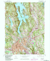
1963 Map of Danbury
USGS Topo · Published 1984About this map
Lake Candlewood dominates the northern landscape of this Fairfield County survey, where the rising shoreline created a complex network of peninsula communities like Candlewood Isle and Vaughns Neck. As the mid-century suburban expansion took hold, distinct residential developments such as Hollywyle Park and Margerie Manor began to fill the spaces between the region's older reservoirs. The city center of Danbury is shown as a dense hub of transportation and civic life, featuring the Conrail railroad lines, the Danbury Municipal Airport, and the State College. Grounded in the 1963 field check with revisions through the early 1980s, the map provides a look at the transition from industrial and agricultural lands to modern residential zones. One can trace the perimeter of the Federal Correctional Institution and the expansive Danbury Fairgrounds before they were lost to later commercial redevelopment.
Find a feature on this map
115 named features on this map. Tap any name to fly to it.
Don’t see what you’re looking for? This feature index may not catch every label — zoom into the map to look around manually.
Map Details
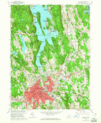
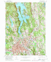
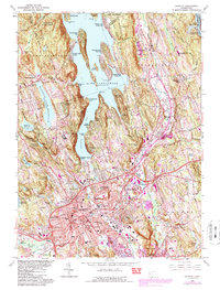
Editions of this 1963 Danbury Map
4 editions found
Other maps of this area

1892 · Danbury
USGS Topo · 1:62,500

1892 · New Milford
USGS Topo · 1:62,500

1892 · Carmel
USGS Topo · 1:62,500

1893 · Carmel
USGS Topo · 1:62,500

1893 · New Milford
USGS Topo · 1:62,500

1893 · Clove
USGS Topo · 1:62,500

1894 · Clove
USGS Topo · 1:62,500

1894 · Carmel
USGS Topo · 1:62,500

1898 · Clove
USGS Topo · 1:62,500

1901 · Clove
USGS Topo · 1:62,500