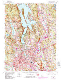
1963 Map of Danbury
USGS Topo · Published 1984About this map
Lake Candlewood dominates the northern landscape of this Connecticut quadrangle, where dozens of lakeside residential enclaves like Candlewood Isle and Candlewood Shores reflect the mid-century growth of seasonal and suburban housing. The urban center of Danbury is dense with civic infrastructure, including the Danbury Hospital, the Courthouse, and several educational institutions such as State College and Abbott Tech Sch. On the city's outskirts, the Danbury Fairgrounds and Danbury Municipal Airport mark significant land use patterns of the era, while the Federal Correctional Institution sits isolated near Margerie Lake Reservoir. Transportation is anchored by the Conrail lines and a developing interstate network, which bypasses older landmarks like the Wooster Cem and the Mill Plain Cem. This survey illustrates the transition of the region from a series of scattered settlements like Germantown and Beaverbrook into a contiguous urbanized corridor.
Find a feature on this map
111 named features on this map. Tap any name to fly to it.
Don’t see what you’re looking for? This feature index may not catch every label — zoom into the map to look around manually.
Map Details
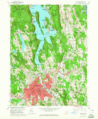
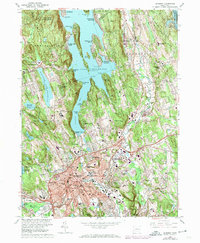
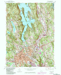
Editions of this 1963 Danbury Map
4 editions found
Other maps of this area

1892 · Danbury
USGS Topo · 1:62,500

1892 · New Milford
USGS Topo · 1:62,500

1892 · Carmel
USGS Topo · 1:62,500

1893 · Carmel
USGS Topo · 1:62,500

1893 · New Milford
USGS Topo · 1:62,500

1893 · Clove
USGS Topo · 1:62,500

1894 · Clove
USGS Topo · 1:62,500

1894 · Carmel
USGS Topo · 1:62,500

1898 · Clove
USGS Topo · 1:62,500

1901 · Clove
USGS Topo · 1:62,500