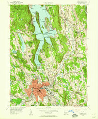
1953 Map of Danbury
USGS Topo · Published 1959About this map
The massive expanse of Lake Candlewood dominates the northern landscape of this mid-century survey, its fingers wrapping around Vaughns Neck and Candlewood Isle. This era of development is marked by the proliferation of lakefront communities like Candlewood Knolls and Candlewood Shores, contrasting with the established industrial and commercial center of Danbury to the south. The city itself is a dense network of streets serving institutions like the State Teachers College and the Courthouse, while the sprawling Danbury Fairgrounds and Danbury Airport anchor the western outskirts.
Find a feature on this map
105 named features on this map. Tap any name to fly to it.
Don’t see what you’re looking for? This feature index may not catch every label — zoom into the map to look around manually.
Map Details
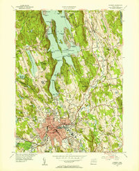
Editions of this 1953 Danbury Map
2 editions found
Other maps of this area

1892 · Danbury
USGS Topo · 1:62,500

1892 · New Milford
USGS Topo · 1:62,500

1892 · Carmel
USGS Topo · 1:62,500

1893 · Carmel
USGS Topo · 1:62,500

1893 · New Milford
USGS Topo · 1:62,500

1893 · Clove
USGS Topo · 1:62,500

1894 · Clove
USGS Topo · 1:62,500

1894 · Carmel
USGS Topo · 1:62,500

1898 · Clove
USGS Topo · 1:62,500

1901 · Clove
USGS Topo · 1:62,500