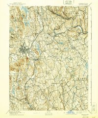
1892 Map of Danbury
USGS Topo · Published 1940About this map
Danbury serves as the industrial and transit anchor of western Connecticut in this late 19th-century survey, revealing a landscape defined by its complex watershed and burgeoning rail network. The Housatonic Railroad and the New York and New England Railroad converge here, facilitating the growth of settlements like Brookfield Junction and Hawleyville. The city center is dense with detail, including the local Fair Grounds and a series of nearby water sources such as the Padanaram Reservoir and Lake Kohanza.
Find a feature on this map
91 named features on this map. Tap any name to fly to it.
Don’t see what you’re looking for? This feature index may not catch every label — zoom into the map to look around manually.
Map Details
Editions of this 1892 Danbury Map
11 editions found

1892 edition
16.4 x 19.8 inches
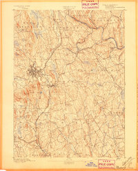
1897 edition
16.4 x 20.3 inches
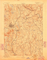
1899 edition
16.1 x 20.3 inches
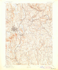
1904 edition
16.4 x 19.9 inches
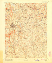
1908 edition
16.4 x 19.9 inches
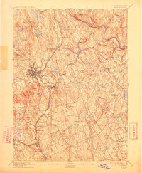
1912 edition
16.4 x 19.9 inches
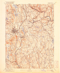
1918 edition
16.4 x 19.8 inches
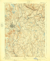
1925 edition
16.4 x 19.9 inches
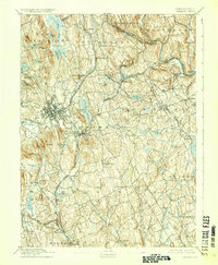
1929 edition
16.4 x 19.9 inches
1940 edition
16.4 x 19.7 inches
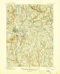
1945 edition
16.9 x 20.7 inches
Other maps of this area

1889 · Derby
USGS Topo · 1:62,500

1891 · Bridgeport
USGS Topo · 1:62,500

1891 · Derby
USGS Topo · 1:62,500

1892 · Stamford
USGS Topo · 1:62,500
1892 · Danbury
USGS Topo · 1:62,500

1892 · New Milford
USGS Topo · 1:62,500

1892 · Norwalk
USGS Topo · 1:62,500

1892 · Carmel
USGS Topo · 1:62,500

1893 · Carmel
USGS Topo · 1:62,500

1893 · Bridgeport
USGS Topo · 1:62,500