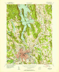
1953 Map of Danbury
USGS Topo · Published 1955About this map
Lake Candlewood dominates the northern landscape of this mid-century survey, its intricate shoreline dotted with seasonal and growing year-round communities like Candlewood Isle and Candlewood Shores. The urban heart of Danbury is shown in detail, including the High Sch, the State Teachers College, and the sprawling Danbury Fairgrounds to the west. This era captures the city as a regional hub of education and transit, anchored by the New York New Haven and Hartford railroad lines.
Find a feature on this map
123 named features on this map. Tap any name to fly to it.
Don’t see what you’re looking for? This feature index may not catch every label — zoom into the map to look around manually.
Map Details
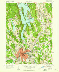
Editions of this 1953 Danbury Map
2 editions found
Other maps of this area

1892 · Danbury
USGS Topo · 1:62,500

1892 · New Milford
USGS Topo · 1:62,500

1892 · Carmel
USGS Topo · 1:62,500

1893 · Carmel
USGS Topo · 1:62,500

1893 · New Milford
USGS Topo · 1:62,500

1893 · Clove
USGS Topo · 1:62,500

1894 · Clove
USGS Topo · 1:62,500

1894 · Carmel
USGS Topo · 1:62,500

1898 · Clove
USGS Topo · 1:62,500

1901 · Clove
USGS Topo · 1:62,500