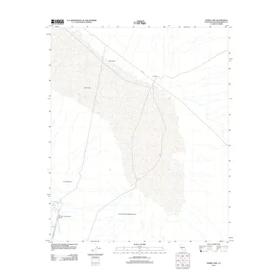
2012 Map of Danby Lake
USGS Topo · Published 2012About this map
Danby Lake dominates this arid landscape, its expansive dry bed and adjacent Salt Marsh reflecting the unique hydrology of the California desert. The map captures the infrastructure of the Colorado River Aqueduct system, specifically featuring the Iron Mountain Pumping Plant Airport and the surrounding Iron Mountains Wasteway Area. These features underscore the region's importance for water transport and management in the early 21st century. The vast expanse of Ward Valley is framed by the steep slopes of the Iron Mountains, with minimal road access provided by the unpaved Cadiz Rd and Iron Mountain Pump Plant Rd. This 2012 survey document is an essential record of the industrial-desert interface, showing how aviation and water-utility footprints integrate into the natural terrain of San Bernardino County.
Find a feature on this map
8 named features on this map. Tap any name to fly to it.
Don’t see what you’re looking for? This feature index may not catch every label — zoom into the map to look around manually.
Map Details
Editions of this 2012 Danby Lake Map
This is the sole edition of this map. No revisions or reprints were ever made.
Other maps of this area

1942 · Amboy
USGS Topo · 1:250,000

1943 · Amboy
USGS Topo · 1:250,000

1943 · Turtle Mts.
USGS Topo · 1:62,500

1943 · Iron Mountains
USGS Topo · 1:62,500

1954 · Needles
USGS Topo · 1:250,000

1954 · Turtle Mountains
USGS Topo · 1:62,500

1954 · Rice
USGS Topo · 1:62,500

1956 · Needles
USGS Topo · 1:250,000

1956 · Milligan
USGS Topo · 1:62,500

1956 · Iron Mountains
USGS Topo · 1:62,500