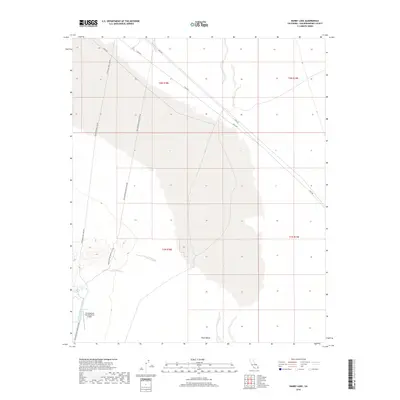
2018 Map of Danby Lake
USGS Topo · Published 2018About this map
The Colorado River Aqueduct carves a striking industrial line through the desert of San Bernardino County, marking a vital piece of California's water infrastructure. This survey captures the infrastructure-heavy landscape where technical utility meets the arid expanse of Ward Valley. At the southwestern corner, the Iron Mountain Pumping Plant Airport serves the massive pumping operations nearby, highlighting the area's role as a critical node in the regional water network. A sparse but functional road system, including Cadiz Rd and Iron Mountain Pump Plant Rd, facilitates access to these remote utility sites. The presence of the Telephone Pole Line Rd further emphasizes the grid-like development imposed on the desert terrain to maintain state-wide resource distribution during the early 21st century.
Find a feature on this map
11 named features on this map. Tap any name to fly to it.
Don’t see what you’re looking for? This feature index may not catch every label — zoom into the map to look around manually.
Map Details
Editions of this 2018 Danby Lake Map
This is the sole edition of this map. No revisions or reprints were ever made.
Other maps of this area

1942 · Amboy
USGS Topo · 1:250,000

1943 · Amboy
USGS Topo · 1:250,000

1943 · Turtle Mts.
USGS Topo · 1:62,500

1943 · Iron Mountains
USGS Topo · 1:62,500

1954 · Needles
USGS Topo · 1:250,000

1954 · Turtle Mountains
USGS Topo · 1:62,500

1954 · Rice
USGS Topo · 1:62,500

1956 · Needles
USGS Topo · 1:250,000

1956 · Milligan
USGS Topo · 1:62,500

1956 · Iron Mountains
USGS Topo · 1:62,500