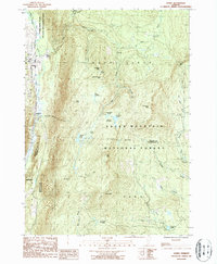
1986 Map of Danby
USGS Topo · Published 1987About this map
Otter Creek meanders along the western edge of this Vermont landscape, defining the valley where the settlements of Danby and Mount Tabor sit tucked against the steep rise of the mountains. This mid-1980s provisional survey documents a high-altitude wilderness dominated by the Green Mountain National Forest, where the Appalachian Trail traverses a series of prominent summits including Baker Peak and Peru Peak. The rugged interior is dotted with remote water bodies like Griffith Lake and Hapgood Pond, connected by a network of brooks and drainage basins such as Styles Brook and Flood Brook. Near the village of Mount Tabor, the South End Cem provides a point of interest for genealogists, while the presence of Old Job and Devils Den suggests a landscape of long-standing local nomenclature. The map captures the interaction between valley agriculture and the protected forest highlands at a time when the Otter Creek State Wildlife Management Area was already well established.
Find a feature on this map
42 named features on this map. Tap any name to fly to it.
Don’t see what you’re looking for? This feature index may not catch every label — zoom into the map to look around manually.
Map Details
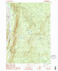
Editions of this 1986 Danby Map
2 editions found
Other maps of this area

1893 · Wallingford
USGS Topo · 1:62,500

1894 · Londonderry
USGS Topo · 1:62,500

1894 · Pawlet
USGS Topo · 1:62,500

1894 · Equinox
USGS Topo · 1:62,500

1896 · Equinox
USGS Topo · 1:62,500

1897 · Pawlet
USGS Topo · 1:62,500

1899 · Londonderry
USGS Topo · 1:62,500

1900 · Equinox
USGS Topo · 1:62,500

1903 · Mettawee
USGS Topo · 1:125,000

1950 · Glens Falls
USGS Topo · 1:250,000