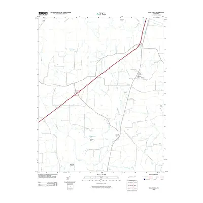
2010 Map of Dancyville
USGS Topo · Published 2010About this map
Spring Hill and the surrounding Haywood County countryside are defined by a network of family-named roads and rural burial grounds in this 2010 topographic study. The landscape is segmented by numerous watercourses, including Big Muddy Creek and its associated Big Muddy Bottom, alongside Prairie Creek and Jeter Creek. Genealogists will find a wealth of local landmarks such as Scratchunder Cemetery, Prospect Cemetery, and Saint John Cemetery, which are tucked away near winding routes like Dancyville Eurekaton Rd. Human-made features like the Pat Mann Dam and Pat Mann Lake sit alongside natural elevations including Richmond Hill and Jeter Hill, showing the continued intersection of agriculture and infrastructure in this West Tennessee region.
Find a feature on this map
51 named features on this map. Tap any name to fly to it.
Don’t see what you’re looking for? This feature index may not catch every label — zoom into the map to look around manually.
Map Details
Editions of this 2010 Dancyville Map
This is the sole edition of this map. No revisions or reprints were ever made.
Other maps of this area

1950 · Sunnyhill
USGS Topo · 1:24,000

1950 · Brownsville
USGS Topo · 1:24,000

1951 · Brownsville
USGS Topo · 1:24,000

1951 · Sunnyhill
USGS Topo · 1:24,000

1952 · Stanton
USGS Topo · 1:24,000

1952 · Lambert
USGS Topo · 1:24,000

1952 · Dancyville
USGS Topo · 1:24,000

1952 · Laconia
USGS Topo · 1:24,000

1952 · Stanton
USGS Topo · 1:62,500

1956 · Blytheville
USGS Topo · 1:250,000