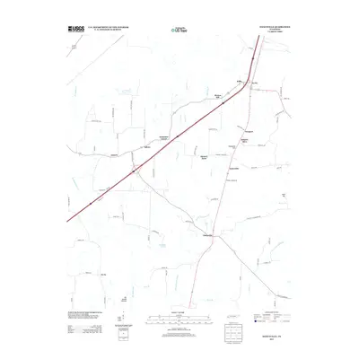
2013 Map of Dancyville
USGS Topo · Published 2013About this map
Dancyville anchors the southern portion of this landscape, situated at a key crossroads where the Dancyville Eurekaton Rd meets routes leading toward Saint John. The terrain is defined by a series of north-flowing tributaries, including Prairie Cr, Jeter Cr, and Big Ditch Br, which feed into the larger hydrological network of Haywood County. This 2013 survey illustrates a pattern of small, scattered communities like Ko Ko, Willis, and Morton Hill that characterize the region's rural distribution.
Find a feature on this map
69 named features on this map. Tap any name to fly to it.
Don’t see what you’re looking for? This feature index may not catch every label — zoom into the map to look around manually.
Map Details
Editions of this 2013 Dancyville Map
This is the sole edition of this map. No revisions or reprints were ever made.
Other maps of this area

1950 · Sunnyhill
USGS Topo · 1:24,000

1950 · Brownsville
USGS Topo · 1:24,000

1951 · Brownsville
USGS Topo · 1:24,000

1951 · Sunnyhill
USGS Topo · 1:24,000

1952 · Stanton
USGS Topo · 1:24,000

1952 · Lambert
USGS Topo · 1:24,000

1952 · Dancyville
USGS Topo · 1:24,000

1952 · Laconia
USGS Topo · 1:24,000

1952 · Stanton
USGS Topo · 1:62,500

1956 · Blytheville
USGS Topo · 1:250,000