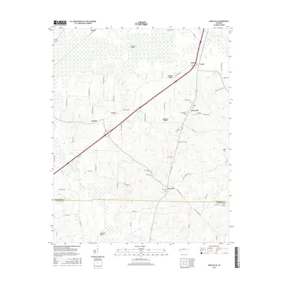
2016 Map of Dancyville
USGS Topo · Published 2016About this map
Dancyville anchors this West Tennessee landscape where the borders of Haywood and Fayette counties meet amidst a network of rural roads and historical small settlements. The topography is defined by the broad lowlands of Hatchie Bottom to the north and the hydrologic engineering of the Big Muddy Canal to the southwest, reflecting the region's long-standing relationship with its river drainage systems. Local history is preserved in a high density of rural burial grounds, including Dancyville Cem, Saint John Cem, and Spring Hill Cem, which often mark the location of vanished or diminished communities. Scattered crossroads like Ko Ko, Asbury, and Antioch remain connected by historical thoroughfares such as Stanton Koko Rd and Dancyville Eurekaton Rd, tracing a settlement pattern rooted in the area's agricultural heritage.
Find a feature on this map
68 named features on this map. Tap any name to fly to it.
Don’t see what you’re looking for? This feature index may not catch every label — zoom into the map to look around manually.
Map Details
Editions of this 2016 Dancyville Map
This is the sole edition of this map. No revisions or reprints were ever made.
Other maps of this area

1950 · Sunnyhill
USGS Topo · 1:24,000

1950 · Brownsville
USGS Topo · 1:24,000

1951 · Brownsville
USGS Topo · 1:24,000

1951 · Sunnyhill
USGS Topo · 1:24,000

1952 · Stanton
USGS Topo · 1:24,000

1952 · Lambert
USGS Topo · 1:24,000

1952 · Dancyville
USGS Topo · 1:24,000

1952 · Laconia
USGS Topo · 1:24,000

1952 · Stanton
USGS Topo · 1:62,500

1956 · Blytheville
USGS Topo · 1:250,000