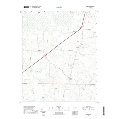
2019 Map of Dancyville
USGS Topo · Published 2019About this map
Dancyville and the surrounding agricultural lands of West Tennessee are defined by a network of creeks and named hills that have shaped the local economy for generations. This 2019 survey captures a landscape of small crossroads settlements like Ko Ko, Asbury, and Antioch, where life has long centered on the fertile but challenging lowlands of the Hatchie Bottom and Big Muddy Bottom. The intricate system of waterways, including the Big Muddy Canal and Prairie Cr, underscores the historical efforts to manage drainage across the Haywood and Fayette County line.
Find a feature on this map
79 named features on this map. Tap any name to fly to it.
Don’t see what you’re looking for? This feature index may not catch every label — zoom into the map to look around manually.
Map Details
Editions of this 2019 Dancyville Map
This is the sole edition of this map. No revisions or reprints were ever made.
Other maps of this area

1950 · Sunnyhill
USGS Topo · 1:24,000

1950 · Brownsville
USGS Topo · 1:24,000

1951 · Brownsville
USGS Topo · 1:24,000

1951 · Sunnyhill
USGS Topo · 1:24,000

1952 · Stanton
USGS Topo · 1:24,000

1952 · Lambert
USGS Topo · 1:24,000

1952 · Dancyville
USGS Topo · 1:24,000

1952 · Laconia
USGS Topo · 1:24,000

1952 · Stanton
USGS Topo · 1:62,500

1956 · Blytheville
USGS Topo · 1:250,000