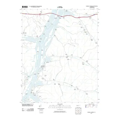
2010 Map of Daniels Landing
USGS Topo · Published 2010About this map
The Tennessee River defines the landscape of this region, serving as a corridor for numerous riverfront settlements and recreational points such as Daniels Landing, Piedmont Landing, and Brevards Landing. The shoreline is dotted with active water-based commerce and leisure, including the Cuba Landing Marina and the Crooked Creek Boat Dock Marina. In the interior, the terrain is heavily dissected by narrow valleys or "hollows," many of which bear family names like McGruder Hollow, Stinson Hollow, and Duncan Hollow.
Find a feature on this map
97 named features on this map. Tap any name to fly to it.
Don’t see what you’re looking for? This feature index may not catch every label — zoom into the map to look around manually.
Map Details
Editions of this 2010 Daniels Landing Map
This is the sole edition of this map. No revisions or reprints were ever made.
Other maps of this area

1936 · Hurricane Mills
USGS Topo · 1:24,000

1936 · Pine View
USGS Topo · 1:24,000

1936 · Daniels Landing
USGS Topo · 1:24,000

1936 · Chestnut Grove
USGS Topo · 1:24,000

1936 · Jeannette
USGS Topo · 1:24,000

1936 · Sugar Tree
USGS Topo · 1:24,000

1936 · Lobelville
USGS Topo · 1:24,000

1936 · Rockport
USGS Topo · 1:24,000

1936 · Hustburg
USGS Topo · 1:24,000

1949 · Daniels Landing
USGS Topo · 1:24,000