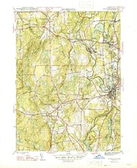
1946 Map of Danielson
USGS Topo · Published 1946About this map
The Quinebaug River corridor in 1946 reveals a landscape of manufacturing villages and rural institutions across eastern Connecticut. In the center of the sheet, the industrial character of the valley is evident in the cluster of settlements including Goodyear, Dayville Killingly P O, and the principal hub of Danielson. These villages were closely tied to the New York New Haven and Hartford railroad line, which served the mills and businesses along the river.
Find a feature on this map
59 named features on this map. Tap any name to fly to it.
Don’t see what you’re looking for? This feature index may not catch every label — zoom into the map to look around manually.
Map Details
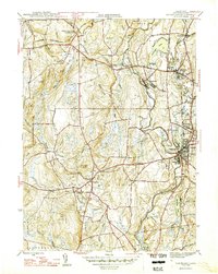
Editions of this 1946 Danielson Map
2 editions found
Other maps of this area

1889 · Putnam
USGS Topo · 1:62,500

1889 · Moosup
USGS Topo · 1:62,500

1892 · Woodstock
USGS Topo · 1:62,500

1892 · Norwich
USGS Topo · 1:62,500

1893 · Putnam
USGS Topo · 1:62,500

1893 · Moosup
USGS Topo · 1:62,500

1919 · Putnam
USGS Topo · 1:62,500

1920 · Moosup
USGS Topo · 1:62,500

1921 · Woodstock
USGS Topo · 1:62,500

1943 · Plainfield
USGS Topo · 1:31,680