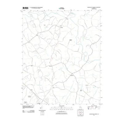
2011 Map of Danielsville North
USGS Topo · Published 2011About this map
Madison Springs and the surrounding upper Georgia Piedmont are defined by a complex web of river crossings and small crossroads communities. This 2011 survey reveals a landscape where the Broad River and Hudson River dictate the local geography, featuring traditional crossing points like Bonds Ford and the Fitz Bridge. The area is densely packed with family-named roads and landmarks, indicating a long-established rural social structure.
Find a feature on this map
107 named features on this map. Tap any name to fly to it.
Don’t see what you’re looking for? This feature index may not catch every label — zoom into the map to look around manually.
Map Details
Editions of this 2011 Danielsville North Map
This is the sole edition of this map. No revisions or reprints were ever made.
Other maps of this area

1891 · Carnesville
USGS Topo · 1:125,000

1954 · Greenville
USGS Topo · 1:250,000

1958 · Greenville
USGS Topo · 1:250,000

1958 · Danielsville
USGS Topo · 1:62,500

1959 · Carnesville
USGS Topo · 1:24,000

1959 · Royston
USGS Topo · 1:24,000

1964 · Ila
USGS Topo · 1:24,000

1964 · Ashland
USGS Topo · 1:24,000

1964 · Hull
USGS Topo · 1:24,000
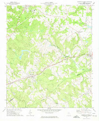
1972 · Danielsville South
USGS Topo · 1:24,000