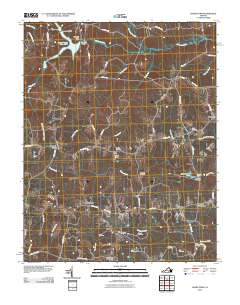
2010 Map of Danieltown
USGS Topo · Published 2010About this map
Nottoway River and its northern tributary system define the rural landscape of this part of southern Virginia. The area is characterized by scattered agricultural communities and a high density of family burial grounds, such as Daniels Cemetery and Stainback Cemetery, which provide significant genealogical value. Local commerce and industry are centered on points like Edmunds Store and Barrows Store, while the water-driven economy of the past remains visible at Masons Mill, situated along Waqua Creek with its associated Masons Mill Pond and Masons Mill Dam. The road network, including the historic Jeb Stuart Rd and Gettysburg Rd, suggests deep-rooted ties to regional history. Large tracts of land, including portions of Fort Pickett, occupy the northern reaches near Camp Pickett Lake 3500, illustrating the land's transition from private holdings to military and recreational use.
Find a feature on this map
64 named features on this map. Tap any name to fly to it.
Don’t see what you’re looking for? This feature index may not catch every label — zoom into the map to look around manually.
Map Details
Editions of this 2010 Danieltown Map
This is the sole edition of this map. No revisions or reprints were ever made.
Other maps of this area

1891 · Farmville
USGS Topo · 1:125,000

1893 · Farmville
USGS Topo · 1:125,000

1897 · Amelia
USGS Topo · 1:125,000

1918 · Lawrenceville
USGS Topo · 1:62,500

1920 · Lawrenceville
USGS Topo · 1:48,000

1921 · Lawrenceville
USGS Topo · 1:62,500

1942 · Lawrenceville
USGS Topo · 1:62,500

1943 · Richmond
USGS Topo · 1:250,000

1947 · Roanoke
USGS Topo · 1:250,000

1949 · Richmond
USGS Topo · 1:250,000