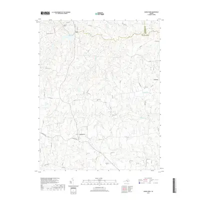
2019 Map of Danieltown
USGS Topo · Published 2019About this map
Danieltown and Ordsburg anchor this rural landscape in Brunswick County, where the terrain is defined by the winding course of the Nottoway River and its numerous tributaries. The map reveals a deeply established family and community history through a high density of small burial grounds, including Daniels Cem, Stainback Cem, and Winn Cem, often located at the end of local lanes. Water management for local use or historical industry is evident at Masons Mill Pond and the Nottoway Reservoir near the northern boundary. The road network, featuring names like Jeb Stuart Rd and Gettysburg Rd, suggests a historical consciousness of the region's past. Researchers will find interest in the scattered creek-side settlements along Waqua Cr and Sturgeon Cr, which continue to shape the geographic character of this Virginia Piedmont region.
Find a feature on this map
67 named features on this map. Tap any name to fly to it.
Don’t see what you’re looking for? This feature index may not catch every label — zoom into the map to look around manually.
Map Details
Editions of this 2019 Danieltown Map
This is the sole edition of this map. No revisions or reprints were ever made.
Other maps of this area

1891 · Farmville
USGS Topo · 1:125,000

1893 · Farmville
USGS Topo · 1:125,000

1897 · Amelia
USGS Topo · 1:125,000

1918 · Lawrenceville
USGS Topo · 1:62,500

1920 · Lawrenceville
USGS Topo · 1:48,000

1921 · Lawrenceville
USGS Topo · 1:62,500

1942 · Lawrenceville
USGS Topo · 1:62,500

1943 · Richmond
USGS Topo · 1:250,000

1947 · Roanoke
USGS Topo · 1:250,000

1949 · Richmond
USGS Topo · 1:250,000