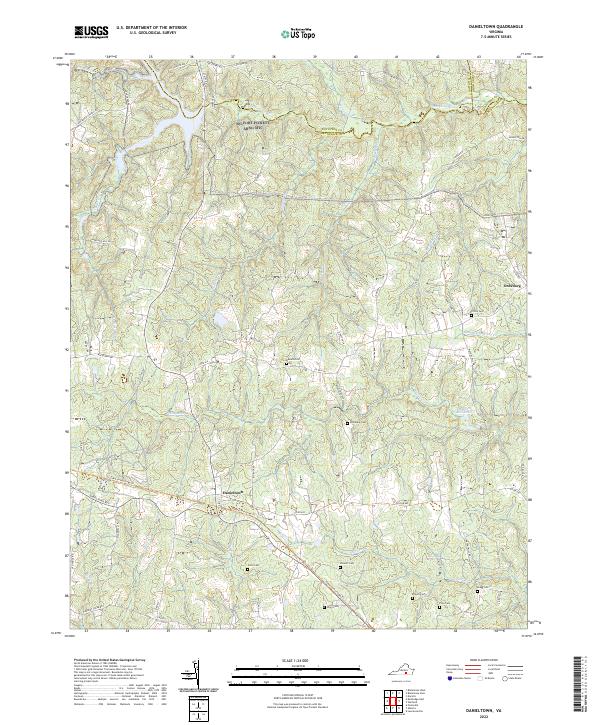
2022 Map of Danieltown
USGS Topo · Published 2022About this map
Danieltown sits at the heart of this landscape where the borders of Brunswick, Nottoway, and Dinwiddie counties converge. The terrain is defined by a dense network of small waterways, including the Nottoway River and its many tributaries like Wagua Cr and Sturgeon Cr. The rural character of the area is emphasized by numerous family-named landmarks and historical burial grounds, such as Stainback Cem and Jones Cem, which offer significant value for genealogical research in this part of Virginia.
Find a feature on this map
66 named features on this map. Tap any name to fly to it.
Don’t see what you’re looking for? This feature index may not catch every label — zoom into the map to look around manually.
Map Details
Editions of this 2022 Danieltown Map
This is the sole edition of this map. No revisions or reprints were ever made.
Other maps of this area

1891 · Farmville
USGS Topo · 1:125,000

1893 · Farmville
USGS Topo · 1:125,000

1897 · Amelia
USGS Topo · 1:125,000

1918 · Lawrenceville
USGS Topo · 1:62,500

1920 · Lawrenceville
USGS Topo · 1:48,000

1921 · Lawrenceville
USGS Topo · 1:62,500

1942 · Lawrenceville
USGS Topo · 1:62,500

1943 · Richmond
USGS Topo · 1:250,000

1947 · Roanoke
USGS Topo · 1:250,000

1949 · Richmond
USGS Topo · 1:250,000