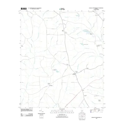
2011 Map of Danleys Crossroads
USGS Topo · Published 2011About this map
Danleys Crossroads serves as a central junction in this rural Coffee County landscape, where the local road network converges near Danley Cross Roads Cemetery and Danleys Mill Branch. The area is characterized by scattered small communities such as Pine Level, Friendship, and Curtis, each often anchored by proximity to a church or family cemetery. To the north, County Lake and the Coffee County Public Lake Dam represent significant water management features alongside numerous smaller impoundments like Donaldson Pond and Whitman Pond. This topography is defined by the drainage systems of Lightwood Knot Creek and Mill Creek, which carve through the terrain before reaching the many branches and creeks that feed the larger regional basins. For genealogists, the map is particularly detailed in its identification of local burial grounds, including the Bethany Cemetery, Liberty Cemetery, and Hudson Cemetery.
Find a feature on this map
77 named features on this map. Tap any name to fly to it.
Don’t see what you’re looking for? This feature index may not catch every label — zoom into the map to look around manually.
Map Details
Editions of this 2011 Danleys Crossroads Map
This is the sole edition of this map. No revisions or reprints were ever made.
Other maps of this area

1953 · Andalusia
USGS Topo · 1:250,000

1957 · Andalusia
USGS Topo · 1:250,000

1968 · Danleys Crossroads
USGS Topo · 1:24,000
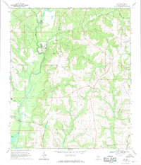
1968 · Ino
USGS Topo · 1:24,000
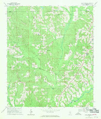
1968 · Bluff Springs
USGS Topo · 1:24,000

1968 · Opp East
USGS Topo · 1:24,000
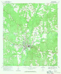
1968 · Elba
USGS Topo · 1:24,000

1968 · Bullock
USGS Topo · 1:24,000

1971 · Dozier
USGS Topo · 1:24,000

1971 · Brantley
USGS Topo · 1:24,000