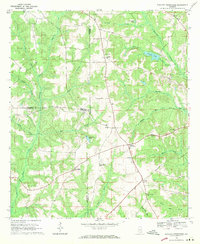
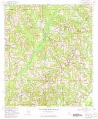
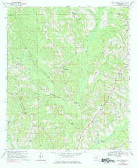
1968 Map of Danleys Crossroads
USGS Topo · Published 1970This historical map portrays the area of Danleys Crossroads in 1968, primarily covering Coffee County as well as portions of Crenshaw County and Covington County. Featuring a scale of 1:24000, this map provides a highly detailed snapshot of the terrain, roads, buildings, counties, and historical landmarks in the Danleys Crossroads region at the time. Published in 1970, it is one of 2 known editions of this map due to revisions or reprints.
Find a feature on this map
35 named features on this map. Tap any name to fly to it.
Don’t see what you’re looking for? This feature index may not catch every label — zoom into the map to look around manually.
Map Details
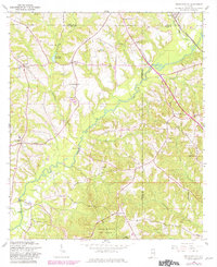
Editions of this 1968 Danleys Crossroads Map
2 editions found
Historical Maps of Saddle Hill Through Time
11 maps found
1960 Brundidge SE
Coffee County, AL
1960 Enterprise NE
Coffee County, AL
1960 Goodman
Coffee County, AL
1960 Victoria
Coffee County, AL
1962 Brundidge SE
Coffee County, AL
1962 Enterprise NE
Coffee County, AL
1962 Victoria
Coffee County, AL
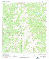
1968 Bluff Springs
Coffee County, AL
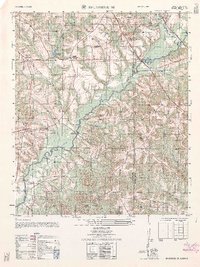
1968 Danleys Crossroads
Coffee County, AL
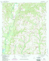
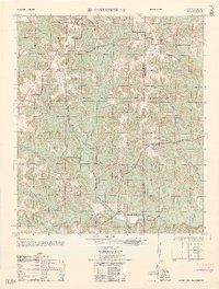
1968 Ino
Coffee County, AL
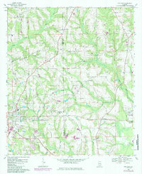
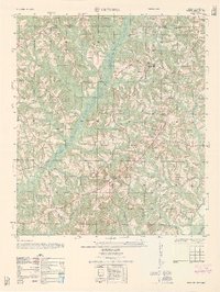
1968 Opp East
Coffee County, AL