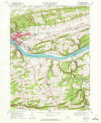
1969 Map of Danville
USGS Topo · Published 1972About this map
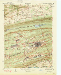
Danville and its surrounding communities along the Susquehanna River are captured here in the late 1960s, showcasing a landscape defined by significant healthcare and educational institutions. The borough serves as a hub, containing the Geisinger Hospital and St Cyrils Academy, while the sprawling grounds of the State Hospital sit just to the east. The river itself is dotted with landmarks such as Reeds Island and Menches Island, reflecting the natural geography that constrained the town's early growth.
Find a feature on this map
71 named features on this map. Tap any name to fly to it.
Don’t see what you’re looking for? This feature index may not catch every label — zoom into the map to look around manually.
Map Details
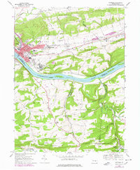
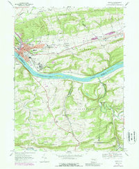
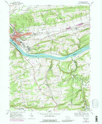
Editions of this 1969 Danville Map
4 editions found
Other maps of this area

1889 · Catawissa
USGS Topo · 1:62,500

1892 · Catawissa
USGS Topo · 1:62,500

1892 · Shamokin
USGS Topo · 1:62,500

1893 · Shamokin
USGS Topo · 1:62,500

1894 · Catawissa
USGS Topo · 1:62,500

1894 · Bloomsburg
USGS Topo · 1:62,500

1935 · Hughesville
USGS Topo · 1:62,500

1943 · Shamokin
USGS Topo · 1:62,500

1947 · Bloomsburg
USGS Topo · 1:24,000
1947 · Mt. Carmel
USGS Topo · 1:24,000
Featured Places
- Elysburg, Ralpho Township
- Rush Township, PA
- Boyd, Rush Township
- Grovania, Montour Township
- Franklin Township, PA