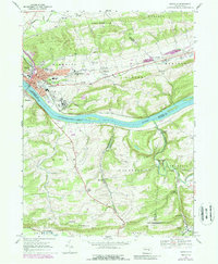
1969 Map of Danville
USGS Topo · Published 1988About this map
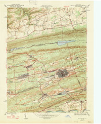
Danville and the Susquehanna River define the core of this landscape, where the river's bend separates the growing town from Riverside. This 1960s study reflects an era of significant institutional presence, notably the sprawling complexes of Geisinger Hospital, the State Hospital, and St Cyrils Academy. Outside the urban center, the terrain rises into ridges like Sharp Ridge and Shamokin Hill, where smaller settlements such as Mechanicsville and Grovania sit along the winding valley runs.
Find a feature on this map
82 named features on this map. Tap any name to fly to it.
Don’t see what you’re looking for? This feature index may not catch every label — zoom into the map to look around manually.
Map Details
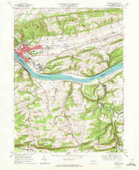
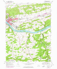
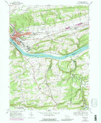
Editions of this 1969 Danville Map
4 editions found
Other maps of this area

1889 · Catawissa
USGS Topo · 1:62,500

1892 · Catawissa
USGS Topo · 1:62,500

1892 · Shamokin
USGS Topo · 1:62,500

1893 · Shamokin
USGS Topo · 1:62,500

1894 · Catawissa
USGS Topo · 1:62,500

1894 · Bloomsburg
USGS Topo · 1:62,500

1935 · Hughesville
USGS Topo · 1:62,500

1943 · Shamokin
USGS Topo · 1:62,500

1947 · Bloomsburg
USGS Topo · 1:24,000
1947 · Mt. Carmel
USGS Topo · 1:24,000
Featured Places
- Elysburg, Ralpho Township
- Rush Township, PA
- Boyd, Rush Township
- Grovania, Montour Township
- Franklin Township, PA