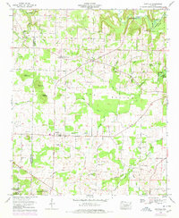
1960 Map of Danville
USGS Topo · Published 1978About this map
Danville serves as a central hub on this 1960 landscape, where the agricultural flats meet the rising timber of the William B Bankhead National Forest. This survey captures a moment when rural Alabama communities were still centered around local landmarks like the Midway Sch and numerous country churches, including Shady Grove Ch and Johnson Chapel. The topography is defined by the broad Long Bottom and prominent elevations such as Owen Mountain and Isabel Mountain, while the northeast corner reveals the backwaters of Wheeler Lake. Local family history is preserved through a high density of small burial grounds, from the Stover Cem near the Lawrence and Morgan county line to the Puckett Cem and Stovall Cem near the village. Evidence of early infrastructure includes the Danville Airport and several river crossings like Means Bridge and Teague Bridge.
Find a feature on this map
56 named features on this map. Tap any name to fly to it.
Don’t see what you’re looking for? This feature index may not catch every label — zoom into the map to look around manually.
Map Details
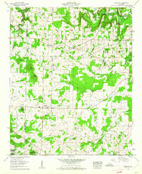
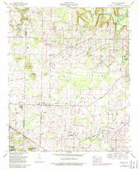
Editions of this 1960 Danville Map
3 editions found
Other maps of this area

1888 · Cullman
USGS Topo · 1:125,000

1888 · Huntsville
USGS Topo · 1:125,000

1892 · Cullman
USGS Topo · 1:125,000

1892 · Huntsville
USGS Topo · 1:125,000

1927 · Falkville
USGS Topo · 1:24,000

1935 · Upshaw
USGS Topo · 1:24,000

1935 · Danville
USGS Topo · 1:48,000

1935 · Oakville
USGS Topo · 1:24,000

1936 · Caddo
USGS Topo · 1:24,000

1936 · Mc Kendry
USGS Topo · 1:24,000