
1964 Map of Darby
USGS Topo · Published 1968About this map
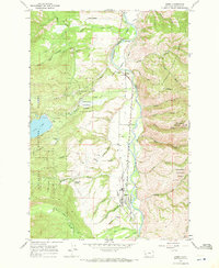
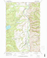
The Bitterroot River valley is defined here by complex irrigation systems and the Northern Pacific railroad corridor during the mid-1960s. Engineering for agriculture is prominent, evidenced by the Bitterroot Irrigation District Supply Canal and the Bitterroot Irrigation District Siphon, which moved water across this Montana landscape to support settlements like Charlos Heights and University Heights. The town of Darby serves as a hub near the southern edge of the sheet, situated where Tin Cup Creek and Fern Creek emerge from the surrounding highlands.
Find a feature on this map
47 named features on this map. Tap any name to fly to it.
Don’t see what you’re looking for? This feature index may not catch every label — zoom into the map to look around manually.
Map Details
Editions of this 1964 Darby Map
3 editions found
Other maps of this area

1901 · Hamilton
USGS Topo · 1:125,000

1956 · Elk City
USGS Topo · 1:250,000

1956 · Hamilton
USGS Topo · 1:250,000

1959 · Hamilton
USGS Topo · 1:250,000

1960 · Elk City
USGS Topo · 1:250,000

1960 · Hamilton
USGS Topo · 1:250,000

1964 · Hamilton
USGS Topo · 1:250,000

1964 · Hamilton South
USGS Topo · 1:24,000

1964 · Burnt Ridge
USGS Topo · 1:24,000

1964 · Ward Mountain
USGS Topo · 1:24,000