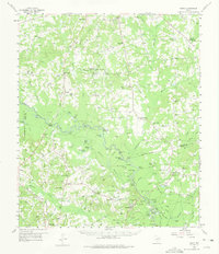
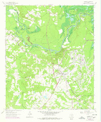
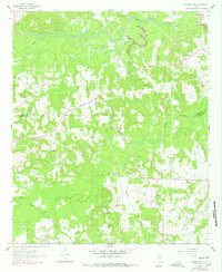
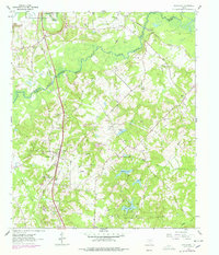
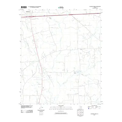
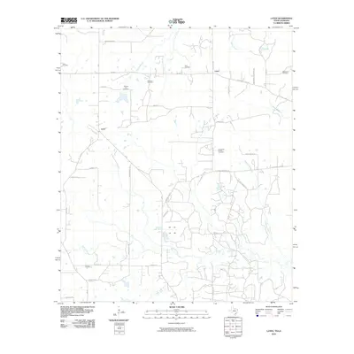
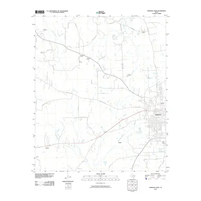
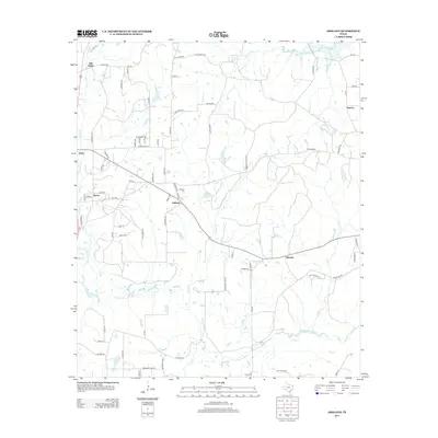
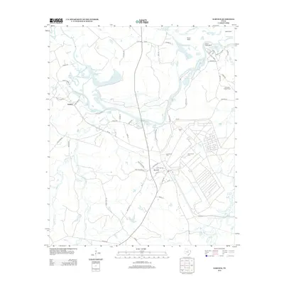
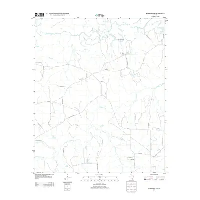
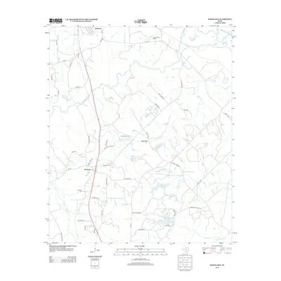
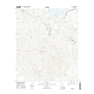
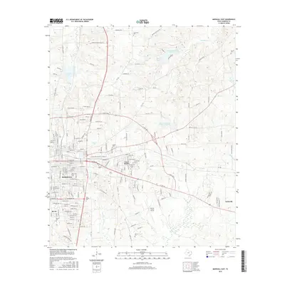
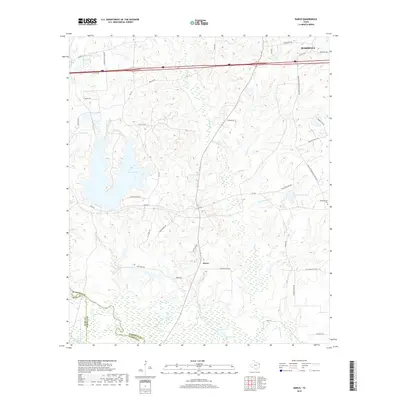
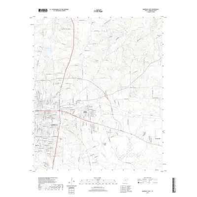
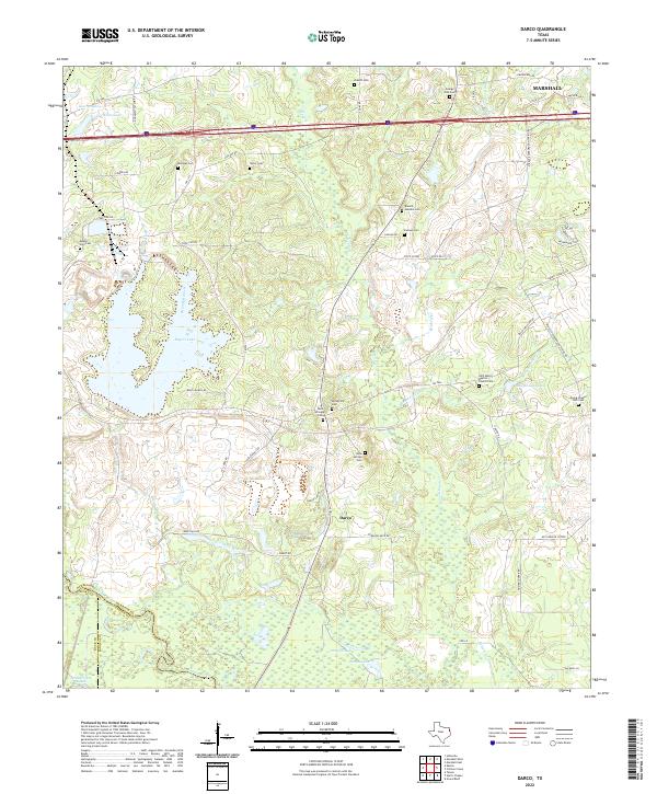
1958 Map of Darco
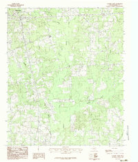
USGS Topo · Published 1975About this map
Boards Ferry on the Sabine River serves as a reminder of the historical river-crossings that once connected the communities of East Texas. This mid-century landscape is defined by the winding river and its complex system of sloughs and lakes, such as Redman Lakes and Alligator Lake. Significant investments in rural education are evident through features like the Rosenwald Vocational and Agriculture Sch and numerous community schoolhouses including Canaan Sch and Mount Sch. The map reveals the early industrial footprint of the Carthage Gas Field and active strip mining near Darco. Small settlements and family-named landmarks like Roseborough Springs and Harris Chapel provide a detailed look at the social fabric of the area before modern consolidation altered many of these local centers.
Find a feature on this map
109 named features on this map. Tap any name to fly to it.
Don’t see what you’re looking for? This feature index may not catch every label — zoom into the map to look around manually.
Map Details
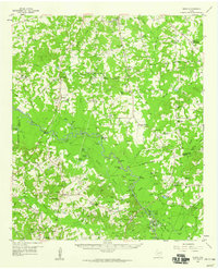
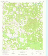
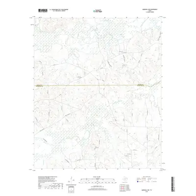
Editions of this 1958 Darco Map
2 editions found
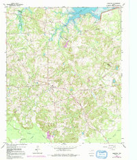
Historical Maps of Marshall Through Time
81 maps found

1944 Caddo Lake
Harrison County, TX

1946 Caddo Lake
Harrison County, TX
1958 Darco
Harrison County, TX
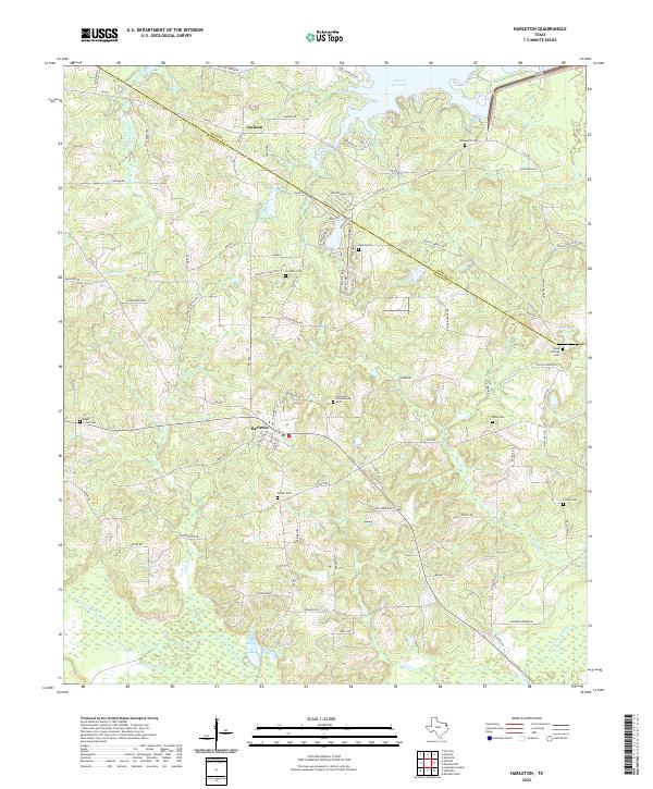
1961 Harleton
Harrison County, TX
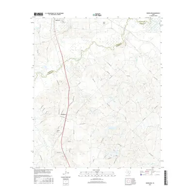
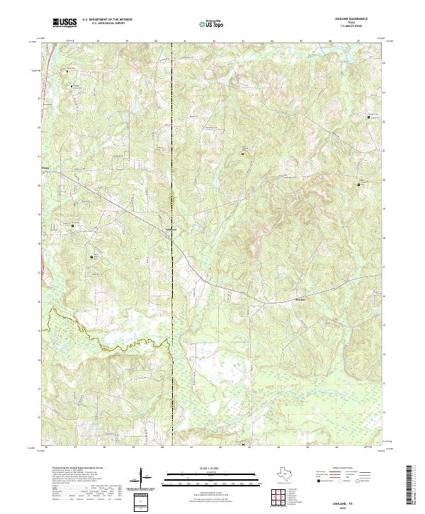
1962 Ashland
Harrison County, TX
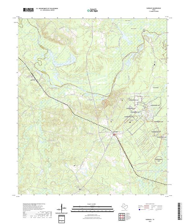
1962 Karnack
Harrison County, TX
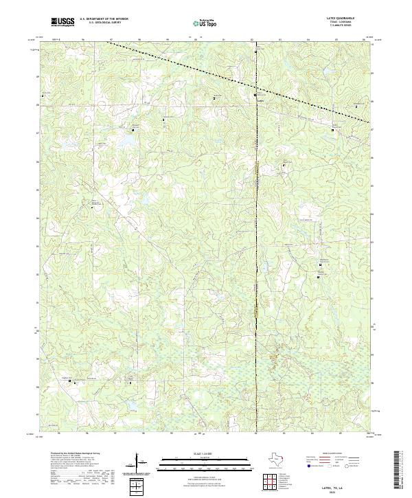
1962 Latex
Harrison County, TX
1962 Longview Heights
Harrison County, TX
1962 Marshall East
Harrison County, TX
1962 Marshall NW
Harrison County, TX
1962 Marshall West
Harrison County, TX
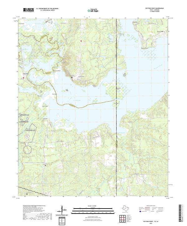
1962 Potters Point
Harrison County, TX
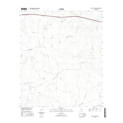
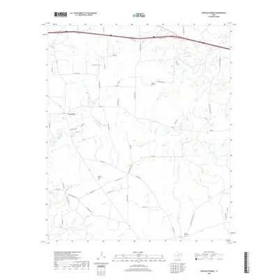
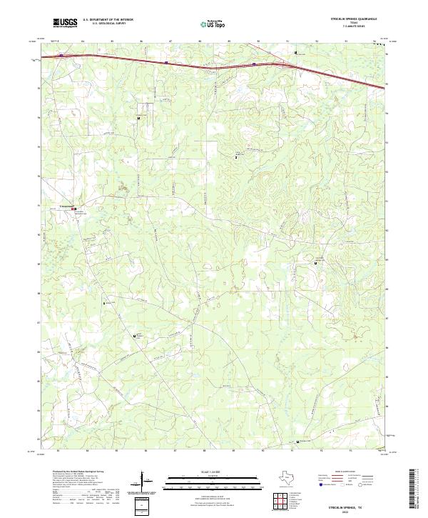
1962 Stricklin Springs
Harrison County, TX
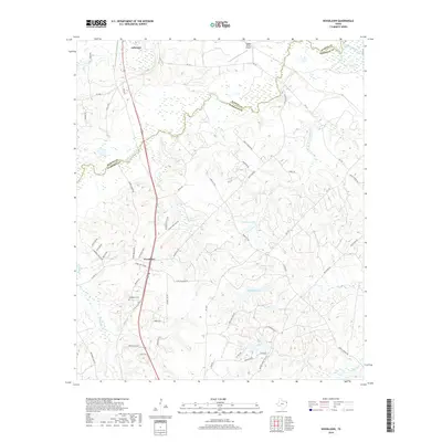
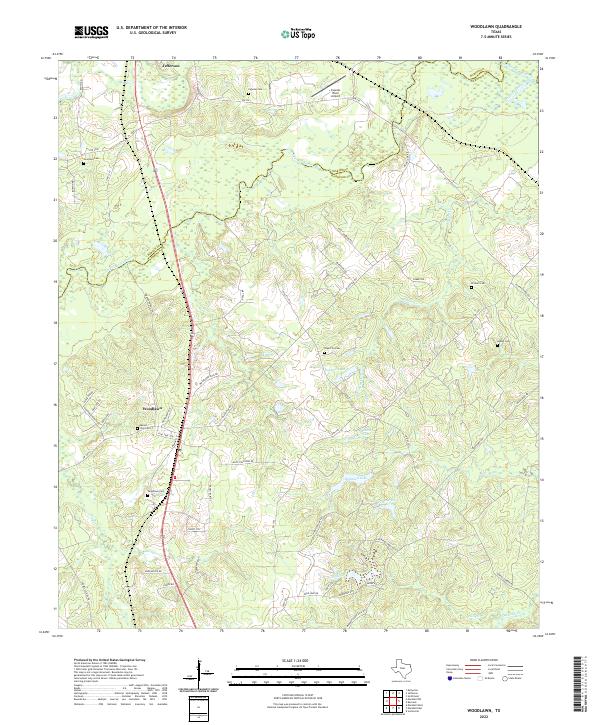
1962 Woodlawn
Harrison County, TX
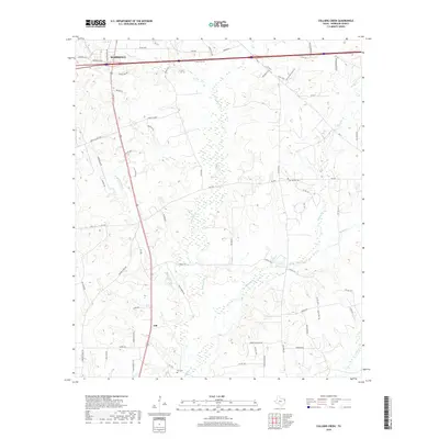
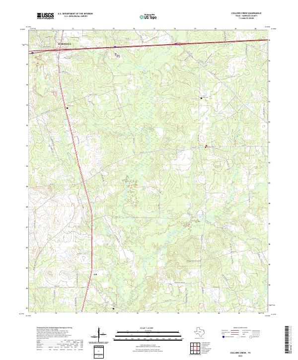
1983 Colliers Creek
Harrison County, TX
1983 Darco
Harrison County, TX
2010 Ashland
Harrison County, TX
2010 Colliers Creek
Harrison County, TX
2010 Darco
Harrison County, TX
2010 Harleton
Harrison County, TX
2010 Karnack
Harrison County, TX
2010 Latex
Harrison County, TX
2010 Longview Heights
Harrison County, TX
2010 Marshall East
Harrison County, TX
2010 Marshall NW
Harrison County, TX
2010 Marshall West
Harrison County, TX
2010 Potters Point
Harrison County, TX
2010 Stricklin Springs
Harrison County, TX
2010 Woodlawn
Harrison County, TX
2013 Ashland
Harrison County, TX
2013 Colliers Creek
Harrison County, TX
2013 Darco
Harrison County, TX
2013 Harleton
Harrison County, TX
2013 Karnack
Harrison County, TX
2013 Latex
Harrison County, TX
2013 Longview Heights
Harrison County, TX
2013 Marshall East
Harrison County, TX
2013 Marshall NW
Harrison County, TX
2013 Marshall West
Harrison County, TX
2013 Potters Point
Harrison County, TX
2013 Stricklin Springs
Harrison County, TX
2013 Woodlawn
Harrison County, TX
2016 Ashland
Harrison County, TX
2016 Colliers Creek
Harrison County, TX
2016 Darco
Harrison County, TX
2016 Harleton
Harrison County, TX
2016 Karnack
Harrison County, TX
2016 Latex
Harrison County, TX
2016 Longview Heights
Harrison County, TX
2016 Marshall East
Harrison County, TX
2016 Marshall NW
Harrison County, TX
2016 Marshall West
Harrison County, TX
2016 Potters Point
Harrison County, TX
2016 Stricklin Springs
Harrison County, TX
2016 Woodlawn
Harrison County, TX
2019 Ashland
Harrison County, TX
2019 Colliers Creek
Harrison County, TX
2019 Darco
Harrison County, TX

2019 Harleton
Harrison County, TX
2019 Karnack
Harrison County, TX
2019 Latex
Harrison County, TX
2019 Longview Heights
Harrison County, TX
2019 Marshall East
Harrison County, TX
2019 Marshall NW
Harrison County, TX
2019 Marshall West
Harrison County, TX
2019 Potters Point
Harrison County, TX
2019 Stricklin Springs
Harrison County, TX
2019 Woodlawn
Harrison County, TX
2022 Ashland
Harrison County, TX
2022 Colliers Creek
Harrison County, TX
2022 Darco
Harrison County, TX
2022 Harleton
Harrison County, TX
2022 Karnack
Harrison County, TX
2022 Latex
Harrison County, TX
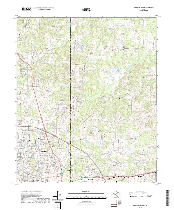
2022 Longview Heights
Harrison County, TX
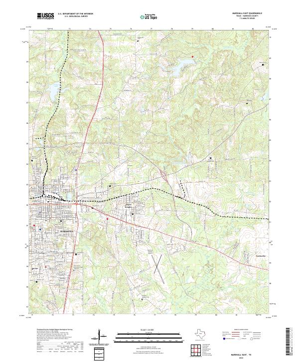
2022 Marshall East
Harrison County, TX
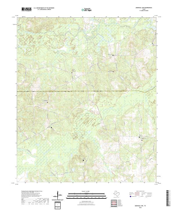
2022 Marshall NW
Harrison County, TX
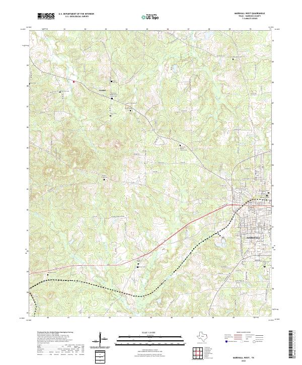
2022 Marshall West
Harrison County, TX
2022 Potters Point
Harrison County, TX
2022 Stricklin Springs
Harrison County, TX
2022 Woodlawn
Harrison County, TX