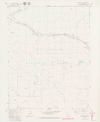
1979 Map of Dardanelle
USGS Topo · Published 1979About this map
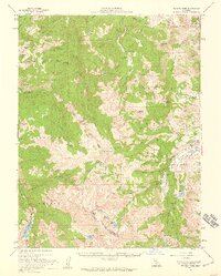
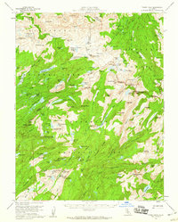
The Middle Fork Stanislaus River carves through the high Sierra Nevada landscape of the Stanislaus National Forest, defining the region's geography and early development. During the late 1970s, this area supported seasonal grazing and small-scale resource extraction, evidenced by Martins Cow Camp and the presence of a Silver Mine with associated Mine Tailings near Silver Creek. These features illustrate the transition from mining interests to the protected wildlands of the Emigrant Wilderness.
Find a feature on this map
52 named features on this map. Tap any name to fly to it.
Don’t see what you’re looking for? This feature index may not catch every label — zoom into the map to look around manually.
Map Details
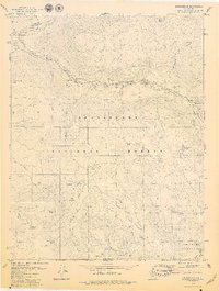
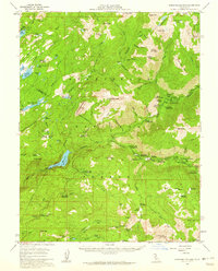
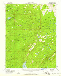
Editions of this 1979 Dardanelle Map
3 editions found

Other maps of this area

1896 · Dardanelles
USGS Topo · 1:125,000

1898 · Dardanelles
USGS Topo · 1:125,000

1948 · Walker Lake
USGS Topo · 1:250,000
1956 · Dardanelles Cone
USGS Topo · 1:62,500
1956 · Pinecrest
USGS Topo · 1:62,500
1956 · Sonora Pass
USGS Topo · 1:62,500
1956 · Tower Peak
USGS Topo · 1:62,500

1957 · Walker Lake
USGS Topo · 1:250,000

1962 · Walker Lake
USGS Topo · 1:250,000

1964 · Walker Lake
USGS Topo · 1:250,000