Loading...
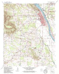
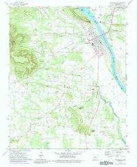
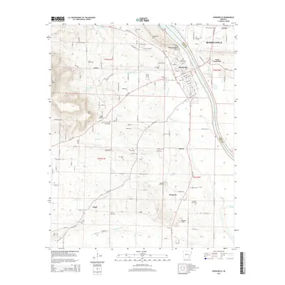
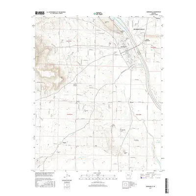
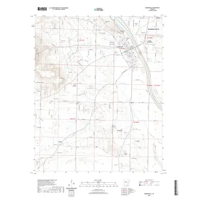
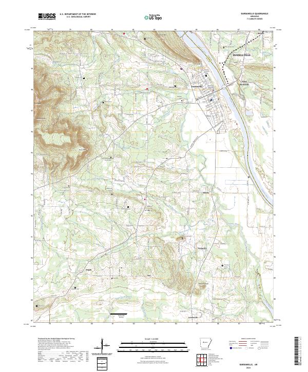
Loading map...1993 Map of Dardanelle
USGS Topo · Published 1993About this map
The Dardanelle Russellville Railroad serves as a primary industrial artery on this 1990s-era map, connecting the riverfront city of Dardanelle to Russellville across the expansive waters of Lake Dardanelle. This landscape is defined by the managed flow of the Arkansas River, anchored by the massive Dardanelle Lock and Dam and its associated Powerplant. West of the river, the terrain rises sharply into Mount Nebo State Park and Jones Mountain.
Find a feature on this map
69 named features on this map. Tap any name to fly to it.
Don’t see what you’re looking for? This feature index may not catch every label — zoom into the map to look around manually.
Map Details
Date Portrayed1993
Date Published1993
PublisherU.S. Geological Survey
Map TypeTopographic
Scale1:24,000
Physical Dimensions21.64 x 27.01 inches
Editions of this 1993 Dardanelle Map
This is the sole edition of this map. No revisions or reprints were ever made.
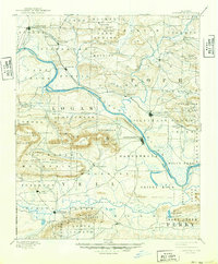
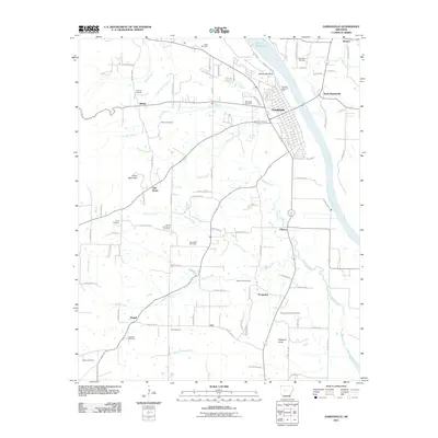
Historical Maps of Russellville Through Time
8 maps found
Featured Locations
Source Details
SourceU.S. Geological Survey
CopyrightPublic Domain