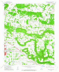
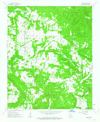
1962 Map of Russellville East
USGS Topo · Published 1963About this map
Russellville and the surrounding Pope County landscape are captured during a period of significant infrastructure expansion, evidenced by the new highway corridor marked as Under Construction through the Illinois township. This artery parallels the long-established Missouri Pacific railroad, which historically dictated the growth of settlements like Pottsville and the industry near the Russellville Municipal Airport. The map highlights a transition from the dense street grids of the city to the rural communities of Moreland and Center Valley, where life centered around local institutions such as Crawford Sch and Harmony Ch.
Find a feature on this map
48 named features on this map. Tap any name to fly to it.
Don’t see what you’re looking for? This feature index may not catch every label — zoom into the map to look around manually.
Map Details
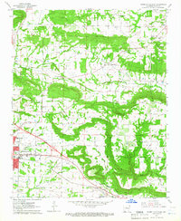
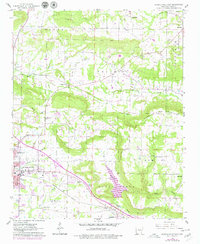
Editions of this 1962 Russellville East Map
3 editions found
Other maps of this area

1888 · Dardanelle #4
USGS Topo · 1:62,500

1888 · Dardanelle #1
USGS Topo · 1:62,500

1889 · Morrilton No. 3
USGS Topo · 1:62,500

1890 · Dardanelle
USGS Topo · 1:125,000

1892 · Morrillton
USGS Topo · 1:125,000

1894 · Morrillton
USGS Topo · 1:125,000

1956 · Russellville
USGS Topo · 1:250,000

1961 · Atkins
USGS Topo · 1:24,000
1961 · Dover
USGS Topo · 1:24,000
1962 · Hector
USGS Topo · 1:24,000