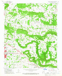
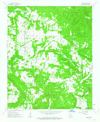
1962 Map of Russellville East
USGS Topo · Published 1965About this map
Russellville and Pottsville anchor the southern portion of this Arkansas landscape, where the Missouri Pacific railroad corridor and the Illinois Bayou define the regional transport and drainage patterns in the early 1960s. The terrain transitions from the developed edge of the city to the prominent heights of Carrion Crow Mountain, with rural life concentrated in the Gum Log Valley and Dover Valley. This survey provides a distinct record of rural infrastructure, from the Crawford Sch to the Drive-in Theater near the river. Numerous family and community landmarks, such as Center Valley Cem, Pascal Cem, and Utley Sem, offer significant value for genealogical research. The map also documents mid-century industry and utility, featuring several Gas Wells and the Russellville Municipal Airport.
Find a feature on this map
44 named features on this map. Tap any name to fly to it.
Don’t see what you’re looking for? This feature index may not catch every label — zoom into the map to look around manually.
Map Details
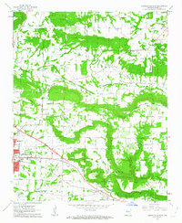
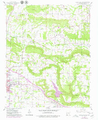
Editions of this 1962 Russellville East Map
3 editions found
Other maps of this area

1888 · Dardanelle #4
USGS Topo · 1:62,500

1888 · Dardanelle #1
USGS Topo · 1:62,500

1889 · Morrilton No. 3
USGS Topo · 1:62,500

1890 · Dardanelle
USGS Topo · 1:125,000

1892 · Morrillton
USGS Topo · 1:125,000

1894 · Morrillton
USGS Topo · 1:125,000

1956 · Russellville
USGS Topo · 1:250,000

1961 · Atkins
USGS Topo · 1:24,000
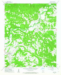
1961 · Dover
USGS Topo · 1:24,000
1962 · Hector
USGS Topo · 1:24,000