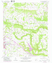
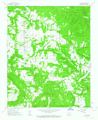
1962 Map of Russellville East
USGS Topo · Published 1979About this map
The Missouri Pacific railroad corridor anchors this survey of eastern Russellville, running parallel to Galla Creek and the southern slopes of Carrion Crow Mountain. The landscape transitions from the developed edge of the city, featuring the County Fairground and Russellville Municipal Airport, into a mosaic of rural settlements like Pottsville and Center Valley. Topographic relief is defined by the prominent Gum Log and Moreland uplands, where small creeks such as Bakers Creek and Shiloh Creek carve through the valley floors.
Find a feature on this map
48 named features on this map. Tap any name to fly to it.
Don’t see what you’re looking for? This feature index may not catch every label — zoom into the map to look around manually.
Map Details
Editions of this 1962 Russellville East Map
3 editions found
Other maps of this area

1888 · Dardanelle #4
USGS Topo · 1:62,500

1888 · Dardanelle #1
USGS Topo · 1:62,500

1889 · Morrilton No. 3
USGS Topo · 1:62,500

1890 · Dardanelle
USGS Topo · 1:125,000

1892 · Morrillton
USGS Topo · 1:125,000

1894 · Morrillton
USGS Topo · 1:125,000

1956 · Russellville
USGS Topo · 1:250,000

1961 · Atkins
USGS Topo · 1:24,000
1961 · Dover
USGS Topo · 1:24,000
1962 · Hector
USGS Topo · 1:24,000