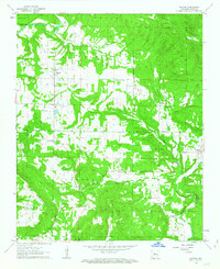
1962 Map of Hector
USGS Topo · Published 1963About this map
Illinois Bayou and its numerous tributaries, including Dare Creek and Clear Creek, carve through the complex topography of the Ozark National Forest in this early 1960s study of Pope County. The settlement of Hector serves as a central hub, surrounded by a network of rural communities such as Appleton, Caglesville, and the aptly named Buttermilk. The landscape is defined by its significant ridges, most notably White Oak Mountain and Buck Mountain, which historically influenced the placement of roads and homesteads. Local history is deeply embedded in the map's details, from the Peterman Lookout Tower standing watch over the timberlands to the numerous country churches and family cemeteries that dot the township lines. The transition between rugged mountain forest and the smaller farm plots in the southern townships reveals the agricultural and timber-based economy of mid-century Arkansas.
Find a feature on this map
36 named features on this map. Tap any name to fly to it.
Don’t see what you’re looking for? This feature index may not catch every label — zoom into the map to look around manually.
Map Details
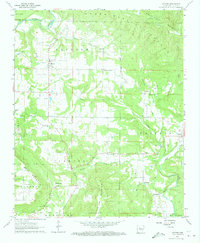
Editions of this 1962 Hector Map
2 editions found
Other maps of this area

1879 · Washington
USGS Topo · 1:62,500

1887 · Smyrna
USGS Topo · 1:62,500

1888 · Dardanelle #1
USGS Topo · 1:62,500

1889 · Treat
USGS Topo · 1:62,500

1889 · Marshall #3
USGS Topo · 1:62,500

1890 · Dardanelle
USGS Topo · 1:125,000

1892 · Marshall
USGS Topo · 1:125,000

1892 · Morrillton
USGS Topo · 1:125,000

1894 · Morrillton
USGS Topo · 1:125,000

1894 · Marshall
USGS Topo · 1:125,000