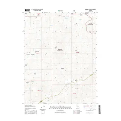
2015 Map of Dardanelles Cone
USGS Topo · Published 2015About this map
The Dardanelles and the towering volcanic plug of Dardanelles Cone dominate the high-altitude topography of the Sierra Nevada near the border of Alpine and Tuolumne counties. This portion of the Stanislaus National Forest and the Toiyabe National Forest showcases a glaciated landscape of prominent peaks and alpine meadows. The eastern edge of the quadrangle is traversed by the Pacific Crest National Scenic Trail, which winds past Wolf Creek Pass and Arnot Peak.
Find a feature on this map
46 named features on this map. Tap any name to fly to it.
Don’t see what you’re looking for? This feature index may not catch every label — zoom into the map to look around manually.
Map Details
Editions of this 2015 Dardanelles Cone Map
This is the sole edition of this map. No revisions or reprints were ever made.
Other maps of this area

1889 · Markleeville
USGS Topo · 1:125,000

1891 · Markleeville
USGS Topo · 1:125,000

1893 · Markleeville
USGS Topo · 1:125,000

1896 · Dardanelles
USGS Topo · 1:125,000

1898 · Dardanelles
USGS Topo · 1:125,000

1948 · Walker Lake
USGS Topo · 1:250,000

1956 · Topaz Lake
USGS Topo · 1:62,500

1956 · Markleeville
USGS Topo · 1:62,500

1956 · Dardanelles Cone
USGS Topo · 1:62,500

1956 · Sonora Pass
USGS Topo · 1:62,500