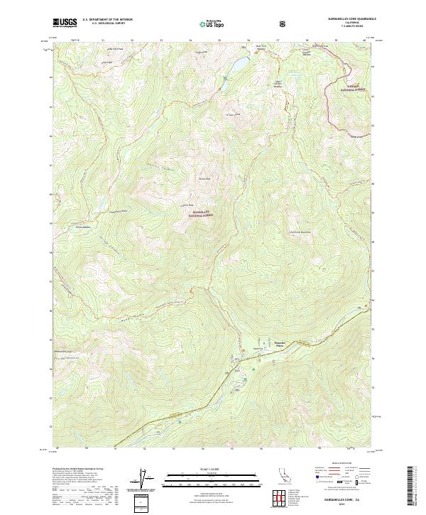
2021 Map of Dardanelles Cone
USGS Topo · Published 2021About this map
The Dardanelles and the prominent Dardanelles Cone anchor this high-elevation landscape along the boundary of Stanislaus National Forest and Toiyabe National Forest. The map documents a complex drainage network where the Clark Fork and Disaster Cr cut through deep canyons such as Hiram Canyon and Poison Canyon. Near the southern edge, the small settlement of Peaceful Pines represents one of the few inhabited points in an otherwise wild terrain defined by peaks like Iceberg Peak and Lightning Mountian.
Find a feature on this map
55 named features on this map. Tap any name to fly to it.
Don’t see what you’re looking for? This feature index may not catch every label — zoom into the map to look around manually.
Map Details
Editions of this 2021 Dardanelles Cone Map
This is the sole edition of this map. No revisions or reprints were ever made.
Other maps of this area

1889 · Markleeville
USGS Topo · 1:125,000

1891 · Markleeville
USGS Topo · 1:125,000

1893 · Markleeville
USGS Topo · 1:125,000

1896 · Dardanelles
USGS Topo · 1:125,000

1898 · Dardanelles
USGS Topo · 1:125,000

1948 · Walker Lake
USGS Topo · 1:250,000

1956 · Topaz Lake
USGS Topo · 1:62,500

1956 · Markleeville
USGS Topo · 1:62,500

1956 · Dardanelles Cone
USGS Topo · 1:62,500

1956 · Sonora Pass
USGS Topo · 1:62,500