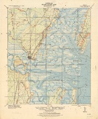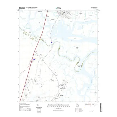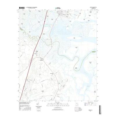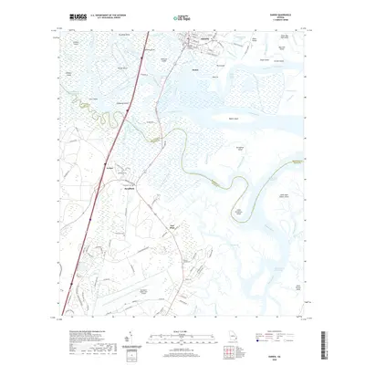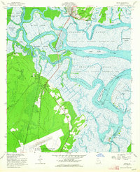
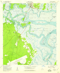
1956 Map of Darien
USGS Topo · Published 1964About this map
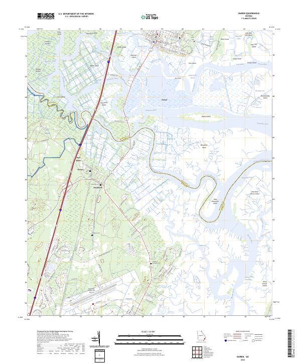
The Darien riverfront serves as the focal point for this coastal survey, where the Altamaha River system fragments into a complex network of islands and tidal channels. This mid-century landscape is marked by colonial-era vestiges and early industrial history, including the site of Old Port King George and the Santo Domingo Mission Ruins. Along the western marshes, the historic Brunswick-Altamaha Canal traces the edge of several estates such as Altamaha Plantation and the Evelyn property. Local genealogy is deeply rooted here, evidenced by numerous small burial grounds like Freedman Cemetery and Petersville Cemetery. To the south, the expansion of mid-century infrastructure is visible at the Glynco Naval Air Station, while the vast Altamaha State Waterfowl Management Area preserves the delta's intricate geography of islands, including Butler Island and Broughton Island.
Find a feature on this map
56 named features on this map. Tap any name to fly to it.
Don’t see what you’re looking for? This feature index may not catch every label — zoom into the map to look around manually.
Map Details
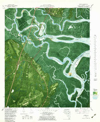
Editions of this 1956 Darien Map
2 editions found
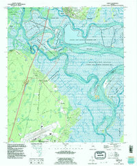
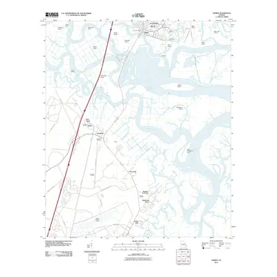
Historical Maps of Darien Through Time
9 maps found