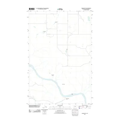
2011 Map of Dark Butte
USGS Topo · Published 2011About this map
The Missouri River carves a sweeping path through this Chouteau County landscape, defining the southern portion of the territory with landmarks like Pablo Island. This 2011 survey by the U.S. Geological Survey shows a rural expanse where water management is critical for local ranching or agriculture, evidenced by several small-scale water control structures including Eagle Eyes Dam, Circuit Breaker Dam, and Pluto Dam.
Find a feature on this map
13 named features on this map. Tap any name to fly to it.
Don’t see what you’re looking for? This feature index may not catch every label — zoom into the map to look around manually.
Map Details
Editions of this 2011 Dark Butte Map
This is the sole edition of this map. No revisions or reprints were ever made.
Other maps of this area

1890 · Fort Benton
USGS Topo · 1:250,000

1892 · Fort Benton
USGS Topo · 1:250,000

1897 · Fort Benton
USGS Topo · 1:250,000

1953 · Starve Out Flat
USGS Topo · 1:24,000

1953 · Eagle Buttes
USGS Topo · 1:24,000

1953 · Last Chance Bench
USGS Topo · 1:24,000

1953 · Pilot Rock
USGS Topo · 1:24,000

1954 · Great Falls
USGS Topo · 1:250,000

1954 · Iliad
USGS Topo · 1:24,000

1954 · Dark Butte
USGS Topo · 1:24,000