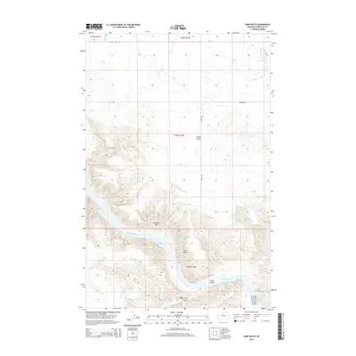
2014 Map of Dark Butte
USGS Topo · Published 2014About this map
The Missouri River carves a deep, winding path through this Chouteau County landscape, creating dramatic elevation changes between the riverbanks and the surrounding plateaus. Centered on the prominent Dark Butte, the terrain is defined by the sharp relief of eroded coulees like Spring Coulee and Sheep Shed Coulee. These drainage features reveal the complex hydrology of the Missouri River basin, while Pablo Island sits amidst the river's flow near the southern boundary. To the west, the massive formation of Steamboat Rock stands as a landmark above the river valley. The region's limited transportation network, including Eagle Butte Rd and Hopp Rd, follows the section lines of the Public Land Survey System, highlighting the area's agricultural and ranching layout in the early 21st century.
Find a feature on this map
13 named features on this map. Tap any name to fly to it.
Don’t see what you’re looking for? This feature index may not catch every label — zoom into the map to look around manually.
Map Details
Editions of this 2014 Dark Butte Map
This is the sole edition of this map. No revisions or reprints were ever made.
Other maps of this area

1890 · Fort Benton
USGS Topo · 1:250,000

1892 · Fort Benton
USGS Topo · 1:250,000

1897 · Fort Benton
USGS Topo · 1:250,000

1953 · Starve Out Flat
USGS Topo · 1:24,000

1953 · Eagle Buttes
USGS Topo · 1:24,000

1953 · Last Chance Bench
USGS Topo · 1:24,000

1953 · Pilot Rock
USGS Topo · 1:24,000

1954 · Great Falls
USGS Topo · 1:250,000

1954 · Iliad
USGS Topo · 1:24,000

1954 · Dark Butte
USGS Topo · 1:24,000