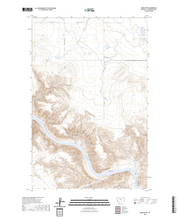
2024 Map of Dark Butte
USGS Topo · Published 2024About this map
The Missouri River cuts a deep, winding path through Chouteau County, where the protected landscapes of the Upper Missouri River Breaks National Monument meet the Missouri Wild and Scenic River. This survey illustrates the transition from the high, open plateaus of north-central Montana to the complex river corridor. The plateau is marked by a grid of rural roads like Eagle Butte Rd and Pleasant View Rd, serving the agricultural sections before the land drops away into the breaks. Near the water, geological features such as Steamboat Rock and Dark Butte dominate the topography, while the river itself is interrupted by the churning waters of Pablo Rapids and the sediment-formed Pablo Island, highlighting the raw, unmanaged character of this specific waterway.
Find a feature on this map
17 named features on this map. Tap any name to fly to it.
Don’t see what you’re looking for? This feature index may not catch every label — zoom into the map to look around manually.
Map Details
Editions of this 2024 Dark Butte Map
This is the sole edition of this map. No revisions or reprints were ever made.
Other maps of this area

1890 · Fort Benton
USGS Topo · 1:250,000

1892 · Fort Benton
USGS Topo · 1:250,000

1897 · Fort Benton
USGS Topo · 1:250,000

1953 · Starve Out Flat
USGS Topo · 1:24,000

1953 · Eagle Buttes
USGS Topo · 1:24,000

1953 · Last Chance Bench
USGS Topo · 1:24,000

1953 · Pilot Rock
USGS Topo · 1:24,000

1954 · Great Falls
USGS Topo · 1:250,000

1954 · Iliad
USGS Topo · 1:24,000

1954 · Dark Butte
USGS Topo · 1:24,000