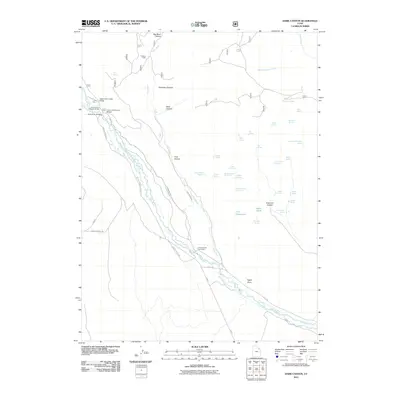
2011 Map of Dark Canyon
USGS Topo · Published 2011About this map
The Uinta River valley dominates this 2011 survey, showing a landscape defined by water management and high-country recreation. Seasonal habitations like the Uinta Canyon Summer Homes and the Uinta Canyon Youth Camp are situated along the riverbanks, served by the Uintah Canyon Rd. The intricate water systems of the region are clearly mapped, including the Upper Uinta Canal, Lower Uinta Canal, and the Pole Creek Canal, which facilitate irrigation across this complex terrain.
Find a feature on this map
59 named features on this map. Tap any name to fly to it.
Don’t see what you’re looking for? This feature index may not catch every label — zoom into the map to look around manually.
Map Details
Editions of this 2011 Dark Canyon Map
This is the sole edition of this map. No revisions or reprints were ever made.
Other maps of this area

1885 · Ashley
USGS Topo · 1:250,000

1885 · Uinta
USGS Topo · 1:250,000

1905 · Gilbert Peak
USGS Topo · 1:125,000

1906 · Gilbert Peak
USGS Topo · 1:125,000

1906 · Marsh Peak
USGS Topo · 1:125,000

1908 · Marsh Peak
USGS Topo · 1:125,000

1917 · Vernal
USGS Topo · 1:125,000

1939 · Duchesne
USGS Topo · 1:125,000

1954 · Salt Lake City
USGS Topo · 1:250,000

1954 · Vernal
USGS Topo · 1:250,000