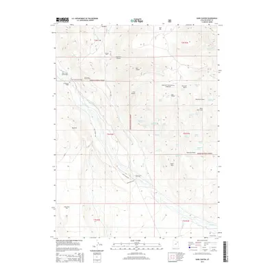
2014 Map of Dark Canyon
USGS Topo · Published 2014About this map
Ashley National Forest defines the rugged verticality of this Duchesne County landscape, where the Uinta River carves south through high canyon walls. The 2014 survey reveals a geography shaped by water management and seasonal habitation, centered on the Uinta Canyon Summer Homes and the Uintah Canyon Youth Camp. A network of high-altitude water features supports the area, including the Cedarview Canal and Powerplant Canal, alongside numerous springs such as Lightning Killed Bull Spring and Mugwump Spring. Evidence of early cattle ranching or mountain transit persists in place names like Zeagher Cabin and John Starr Flat. The map documents a sophisticated system of irrigation and transit, marked by the Upper Uinta Canal Bridge and Uinta Canyon Hwy, illustrating how remote mountain resources were harnessed for the valley below.
Find a feature on this map
61 named features on this map. Tap any name to fly to it.
Don’t see what you’re looking for? This feature index may not catch every label — zoom into the map to look around manually.
Map Details
Editions of this 2014 Dark Canyon Map
This is the sole edition of this map. No revisions or reprints were ever made.
Other maps of this area

1885 · Ashley
USGS Topo · 1:250,000

1885 · Uinta
USGS Topo · 1:250,000

1905 · Gilbert Peak
USGS Topo · 1:125,000

1906 · Gilbert Peak
USGS Topo · 1:125,000

1906 · Marsh Peak
USGS Topo · 1:125,000

1908 · Marsh Peak
USGS Topo · 1:125,000

1917 · Vernal
USGS Topo · 1:125,000

1939 · Duchesne
USGS Topo · 1:125,000

1954 · Salt Lake City
USGS Topo · 1:250,000

1954 · Vernal
USGS Topo · 1:250,000