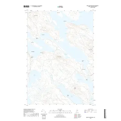
2018 Map of Dark Cove Mountain
USGS Topo · Published 2018About this map
Dark Cove Mtn and Farm Cove Mtn dominate this interior landscape of Washington County, where complex waterways connect a chain of major lakes. The terrain is defined by glacial features and peninsula points, including Saint Cyr Point and Belmont Point, which reach into the deep waters of Fourth Machias Lake and Wabassus Lake. The hydrology of the region is intricately mapped, showing how Fourth Lake Stream and Hayes Brook navigate the lowlands between ridges.
Find a feature on this map
38 named features on this map. Tap any name to fly to it.
Don’t see what you’re looking for? This feature index may not catch every label — zoom into the map to look around manually.
Map Details
Editions of this 2018 Dark Cove Mountain Map
This is the sole edition of this map. No revisions or reprints were ever made.
Other maps of this area

1931 · Springfield
USGS Topo · 1:48,000

1932 · Nicatous Lake
USGS Topo · 1:48,000

1934 · Nicatous Lake
USGS Topo · 1:62,500

1934 · Springfield
USGS Topo · 1:62,500

1941 · Scraggly Lake
USGS Topo · 1:62,500

1941 · Wabassus Lake
USGS Topo · 1:62,500

1943 · Wabassus Lake
USGS Topo · 1:62,500

1944 · Scraggly Lake
USGS Topo · 1:62,500

1953 · Wabassus Lake
USGS Topo · 1:62,500

1954 · Millinocket
USGS Topo · 1:250,000