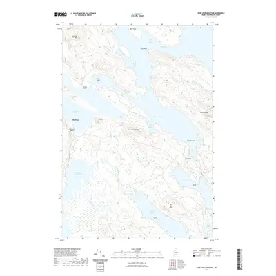
2021 Map of Dark Cove Mountain
USGS Topo · Published 2021About this map
Sysladobsis Lake and Pocumcus Lake dominate this portion of Washington County, illustrating a landscape defined by an intricate network of waterways and glacial landforms. The small settlement of The Pines sits near Big Sand Beach, serving as a primary point of human activity amidst the dense topography of Dark Cove Mtn and Farm Cove Mtn.
Find a feature on this map
39 named features on this map. Tap any name to fly to it.
Don’t see what you’re looking for? This feature index may not catch every label — zoom into the map to look around manually.
Map Details
Editions of this 2021 Dark Cove Mountain Map
This is the sole edition of this map. No revisions or reprints were ever made.
Other maps of this area

1931 · Springfield
USGS Topo · 1:48,000

1932 · Nicatous Lake
USGS Topo · 1:48,000

1934 · Nicatous Lake
USGS Topo · 1:62,500

1934 · Springfield
USGS Topo · 1:62,500

1941 · Scraggly Lake
USGS Topo · 1:62,500

1941 · Wabassus Lake
USGS Topo · 1:62,500

1943 · Wabassus Lake
USGS Topo · 1:62,500

1944 · Scraggly Lake
USGS Topo · 1:62,500

1953 · Wabassus Lake
USGS Topo · 1:62,500

1954 · Millinocket
USGS Topo · 1:250,000