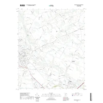
2020 Map of Darlington East
USGS Topo · Published 2020About this map
Darlington serves as the focal point for this landscape, where the street grid of the eastern city limits transitions into a complex system of creeks and swamps. The topography is defined by the winding course of Black Creek, which is fed by numerous tributaries including Swift Cr, Hurricane Br, and Bettuahe Cr. These waterways create a low-lying environment characterized by features such as Back Swamp and Hasker Flat, where early crossings like Brunsons Bridge and Hoods Bridge were established to connect the settlement with outlying areas.
Find a feature on this map
171 named features on this map. Tap any name to fly to it.
Don’t see what you’re looking for? This feature index may not catch every label — zoom into the map to look around manually.
Map Details
Editions of this 2020 Darlington East Map
This is the sole edition of this map. No revisions or reprints were ever made.
Other maps of this area

1940 · Florence West
USGS Topo · 1:62,500

1940 · Florence East
USGS Topo · 1:62,500

1943 · Gum Swamp
USGS Topo · 1:62,500

1945 · Florence East
USGS Topo · 1:62,500

1945 · Florence West
USGS Topo · 1:62,500

1953 · Florence
USGS Topo · 1:250,000

1954 · Florence
USGS Topo · 1:250,000

1963 · Dovesville
USGS Topo · 1:24,000

1963 · Mont Clare
USGS Topo · 1:24,000

1963 · Darlington East
USGS Topo · 1:24,000