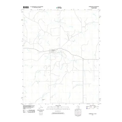
2010 Map of Darrouzett
USGS Topo · Published 2010About this map
Darrouzett serves as the primary hub of this northern Texas Panhandle landscape, where the town's grid is defined by its proximity to the rail line and a branching network of ranch roads. The topography is shaped by a dense system of intermittent waterways, most notably Kiowa Creek and North Fork Creek, which cut across the high plains. These drainages, along with the creatively named White Woman Creek and its eastern tributary, East White Woman Creek, reveal the natural erosion patterns typical of this semi-arid region.
Find a feature on this map
18 named features on this map. Tap any name to fly to it.
Don’t see what you’re looking for? This feature index may not catch every label — zoom into the map to look around manually.
Map Details
Editions of this 2010 Darrouzett Map
This is the sole edition of this map. No revisions or reprints were ever made.
Other maps of this area

1954 · Perryton
USGS Topo · 1:250,000

1958 · Perryton
USGS Topo · 1:250,000

1971 · Clear Lake SW
USGS Topo · 1:24,000

1971 · Clear Lake SE
USGS Topo · 1:24,000

1971 · Logan
USGS Topo · 1:24,000

1972 · Dugout Creek
USGS Topo · 1:24,000

1972 · Skunk Creek
USGS Topo · 1:24,000

1972 · Follett
USGS Topo · 1:24,000

1972 · Darrouzett
USGS Topo · 1:24,000

1972 · Gaylord
USGS Topo · 1:24,000