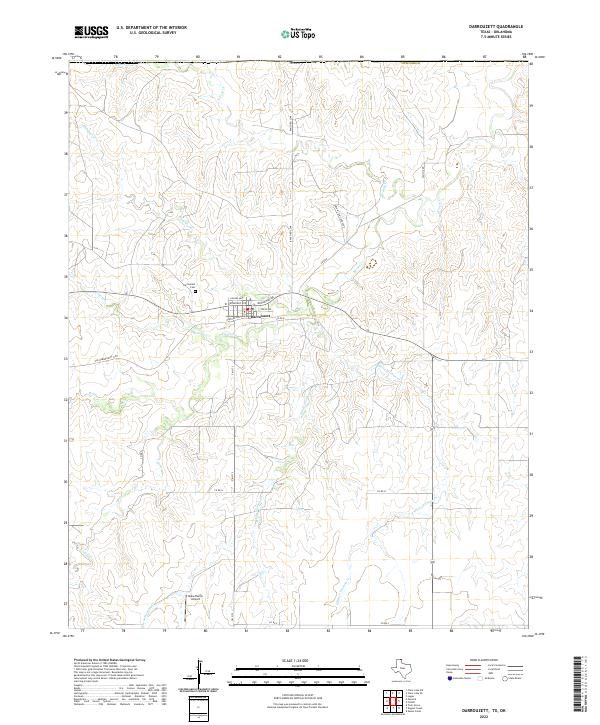
2022 Map of Darrouzett
USGS Topo · Published 2022About this map
Darrouzett serves as the central hub of this High Plains landscape, situated just south of the Texas-Oklahoma state line. The town's grid is anchored by Texas Ave and Broadway Ave, reflecting a traditional agricultural settlement pattern surrounded by ranching operations and oil-related infrastructure indicated by Caliche Rd. The drainage network is particularly dense here, with Kiowa Cr and the uniquely named White Woman Cr carving through the terrain. Evidence of local history and rural life persists at the Darrouzett Cem northwest of town and the Duke Ranch Airport to the south. The presence of the Old Darrouzett Hwy suggests a shifting transportation landscape as modern ranch roads like Ranch Rd 2248 have superseded older routes.
Find a feature on this map
27 named features on this map. Tap any name to fly to it.
Don’t see what you’re looking for? This feature index may not catch every label — zoom into the map to look around manually.
Map Details
Editions of this 2022 Darrouzett Map
This is the sole edition of this map. No revisions or reprints were ever made.
Other maps of this area

1954 · Perryton
USGS Topo · 1:250,000

1958 · Perryton
USGS Topo · 1:250,000

1971 · Clear Lake SW
USGS Topo · 1:24,000

1971 · Clear Lake SE
USGS Topo · 1:24,000

1971 · Logan
USGS Topo · 1:24,000

1972 · Dugout Creek
USGS Topo · 1:24,000

1972 · Skunk Creek
USGS Topo · 1:24,000

1972 · Follett
USGS Topo · 1:24,000

1972 · Darrouzett
USGS Topo · 1:24,000

1972 · Gaylord
USGS Topo · 1:24,000