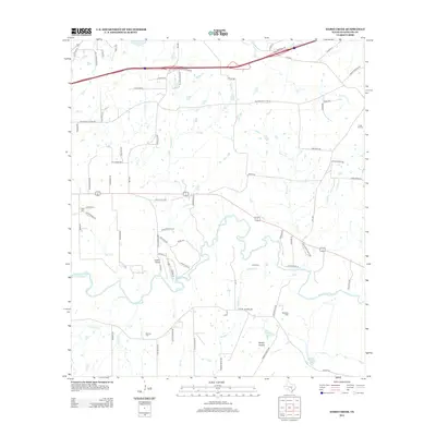
2013 Map of Darst Creek
USGS Topo · Published 2013About this map
The Guadalupe River carves a winding path through this central Texas landscape, which is defined by a dense network of watercourses and family-named landmarks. The presence of the Darst Oil Field on the eastern edge of the quadrangle signals the region's industrial heritage, while aviation is represented by the Lackorn Airport located near the center of the sheet. For those tracing family history, several smaller burial grounds are documented, including Brenner Cem, Jahns Cem, Matthies Cem, and Eden Cem. The terrain features distinct named areas such as Sandy Hollow and the Twin Creeks region. A complex system of tributaries, including Nash Cr, Sawlog Cr, and Saul Cr, feeds the primary river basin, supporting water bodies like Holmes Lake and Bishop Lake.
Find a feature on this map
82 named features on this map. Tap any name to fly to it.
Don’t see what you’re looking for? This feature index may not catch every label — zoom into the map to look around manually.
Map Details
Editions of this 2013 Darst Creek Map
This is the sole edition of this map. No revisions or reprints were ever made.
Other maps of this area

1911 · San Marcos
USGS Topo · 1:125,000

1919 · San Marcos
USGS Topo · 1:125,000

1920 · Smiley
USGS Topo · 1:125,000

1924 · San Marcos 3-c
USGS Topo · 1:48,000

1924 · San Marcos 3-d
USGS Topo · 1:48,000

1925 · San Marcos 4-c
USGS Topo · 1:48,000

1929 · Luling
USGS Topo · 1:62,500

1930 · Seguin
USGS Topo · 1:62,500

1942 · Dewville
USGS Topo · 1:62,500

1953 · Seguin
USGS Topo · 1:250,000